See this is the problem then.
Why it’s in not a thing then.
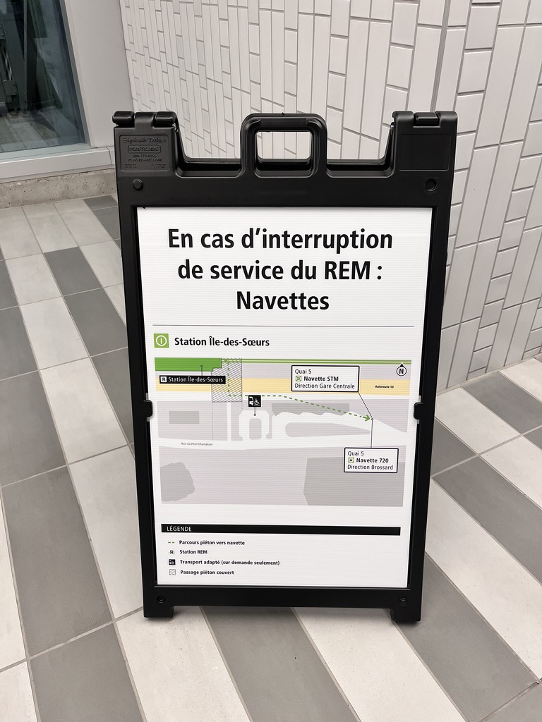
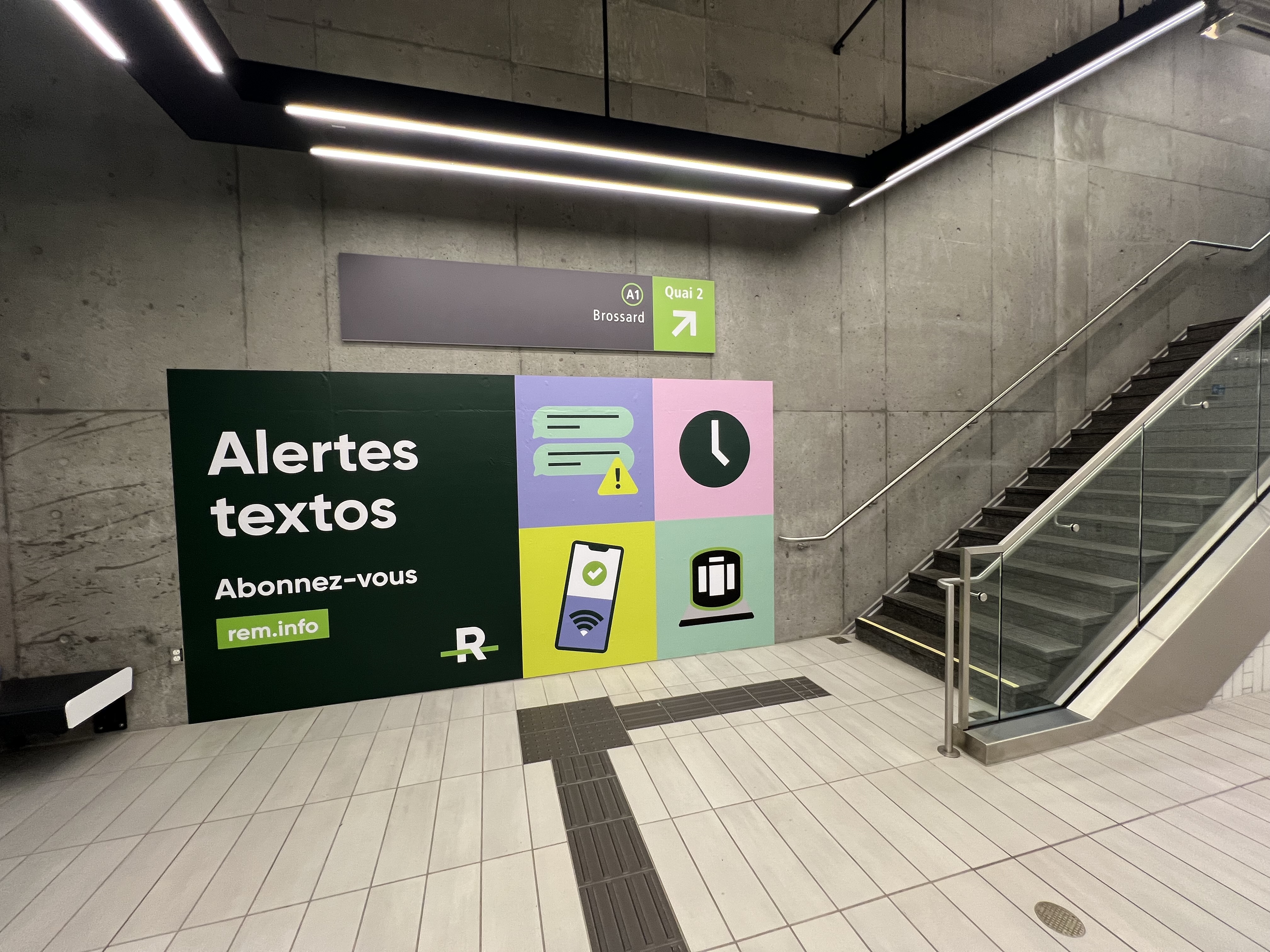
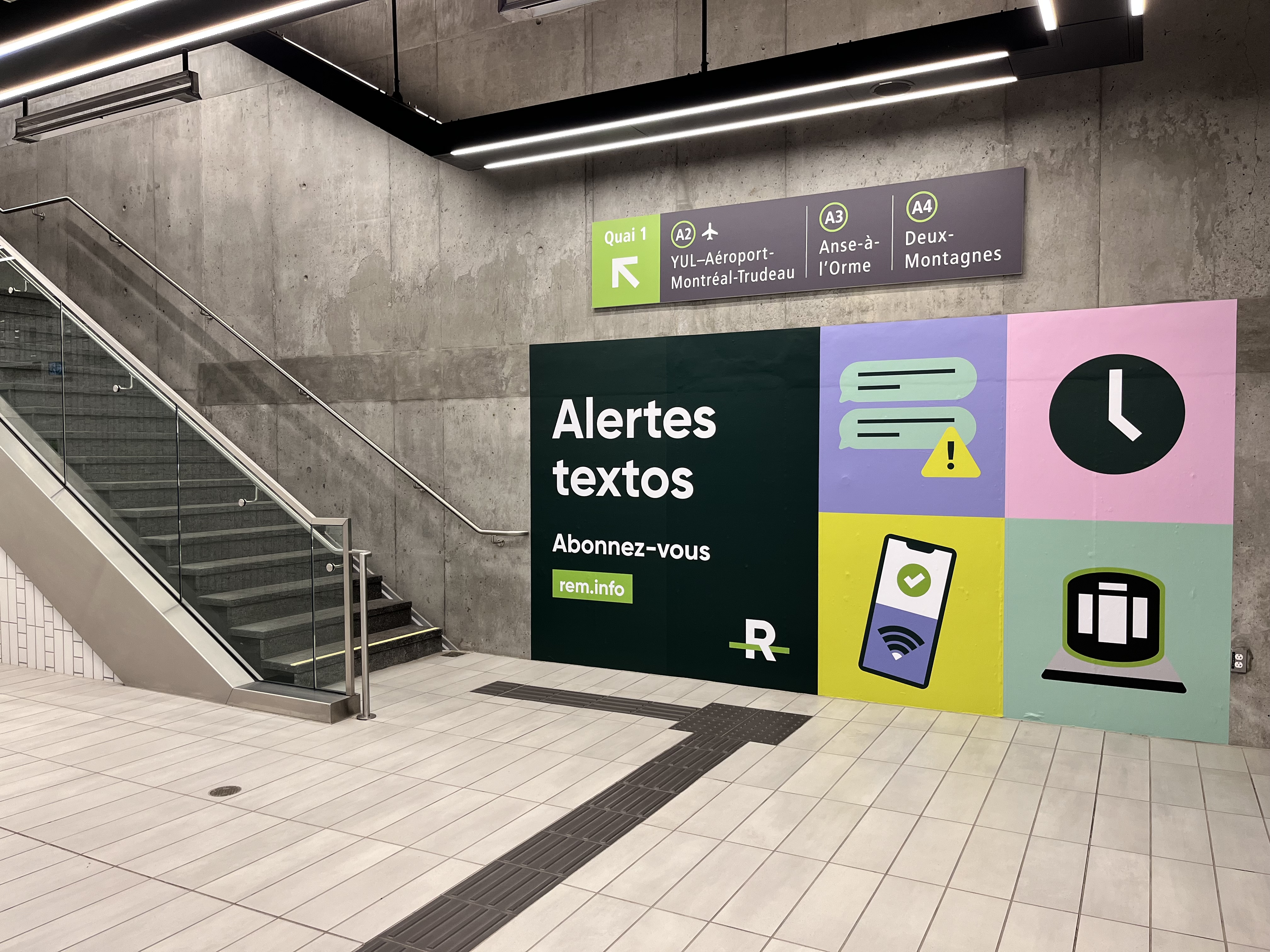
For some metro stations with BIG bus Terminus, you have no idea as you have to check the “plan des quartiers” the rem does not have any of those and no permanent disruption map signage is available in the rem stations.
If the yellow line is broken, no where in berri uqam does it say to take the green to mcgill for Jean drapeaux and to Papineau for LUDS. at quare-victoria-OACI i have no idea what exit to leave to take the est or west bound replacement bus.
I disagree, as it would mean having signs to a bus that’s never in service except maybe once a month (at most). Additionally, why should the sign pointing to the shuttle bus be located here? Most people going to it would be coming from other buses so they’d already be coming from the bus loop anyway. I just don’t think it’s necessary, people would see it and think “oh that’s a bus I can take” only to wait for a bus that’ll never come
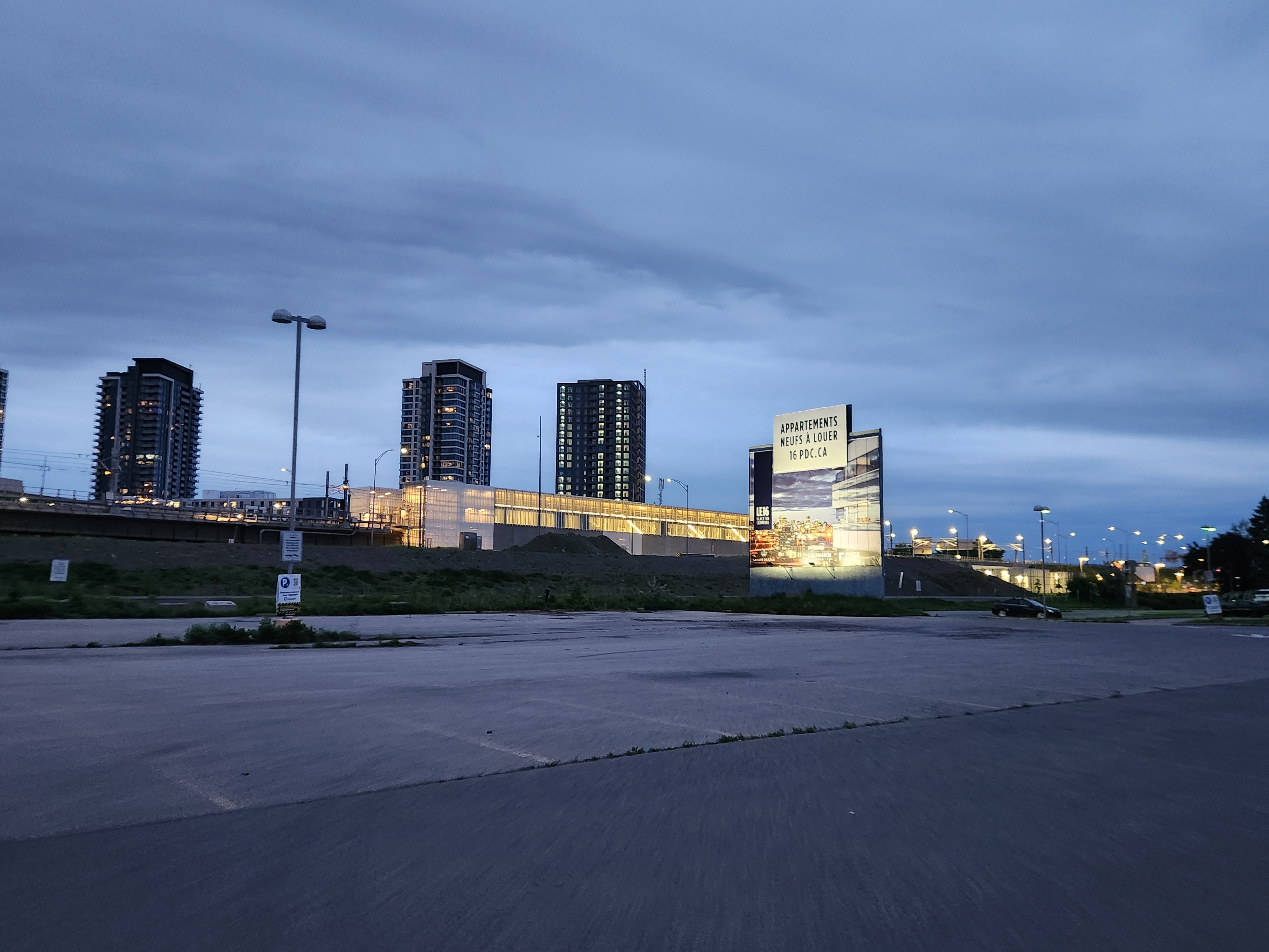
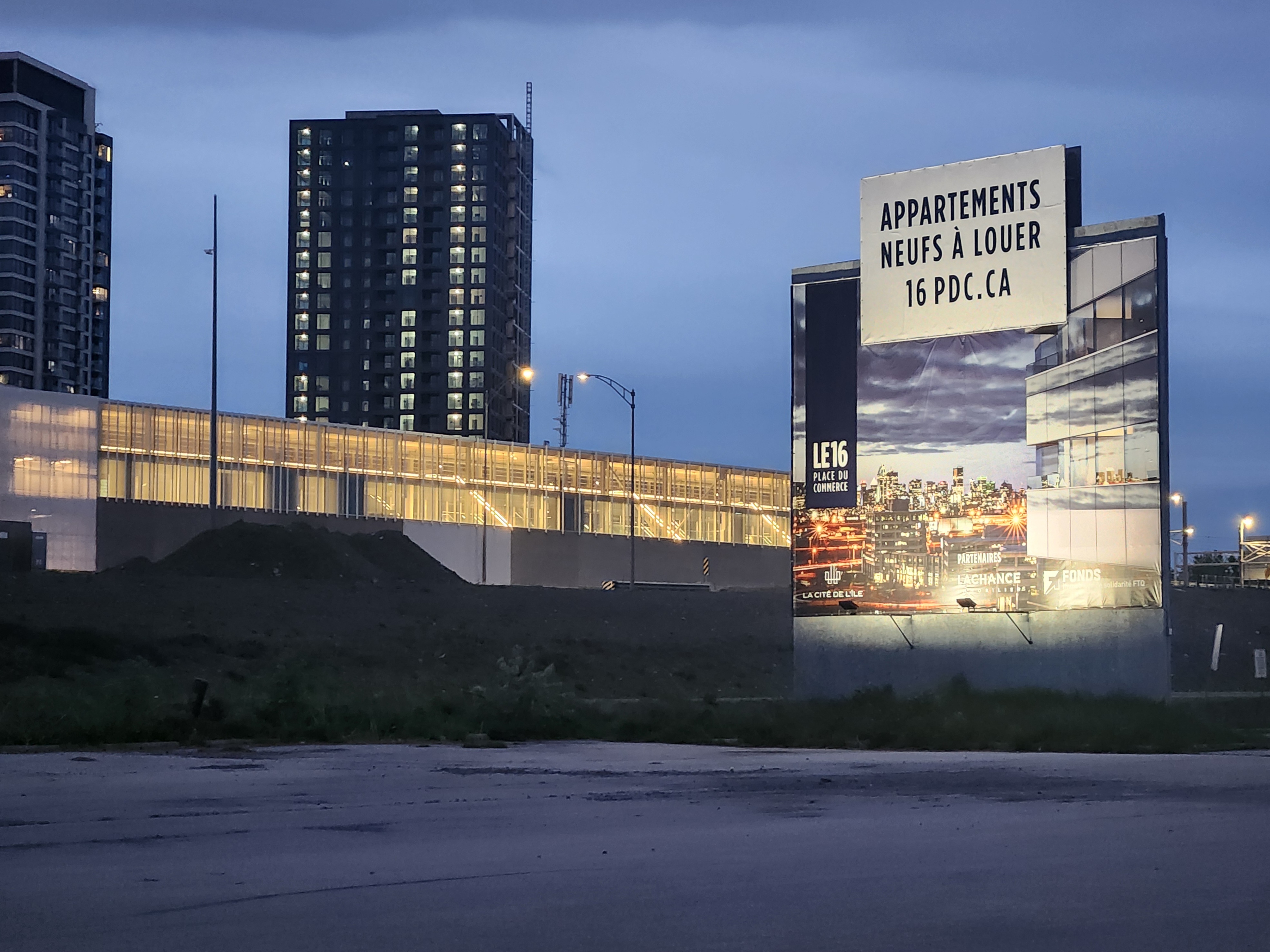
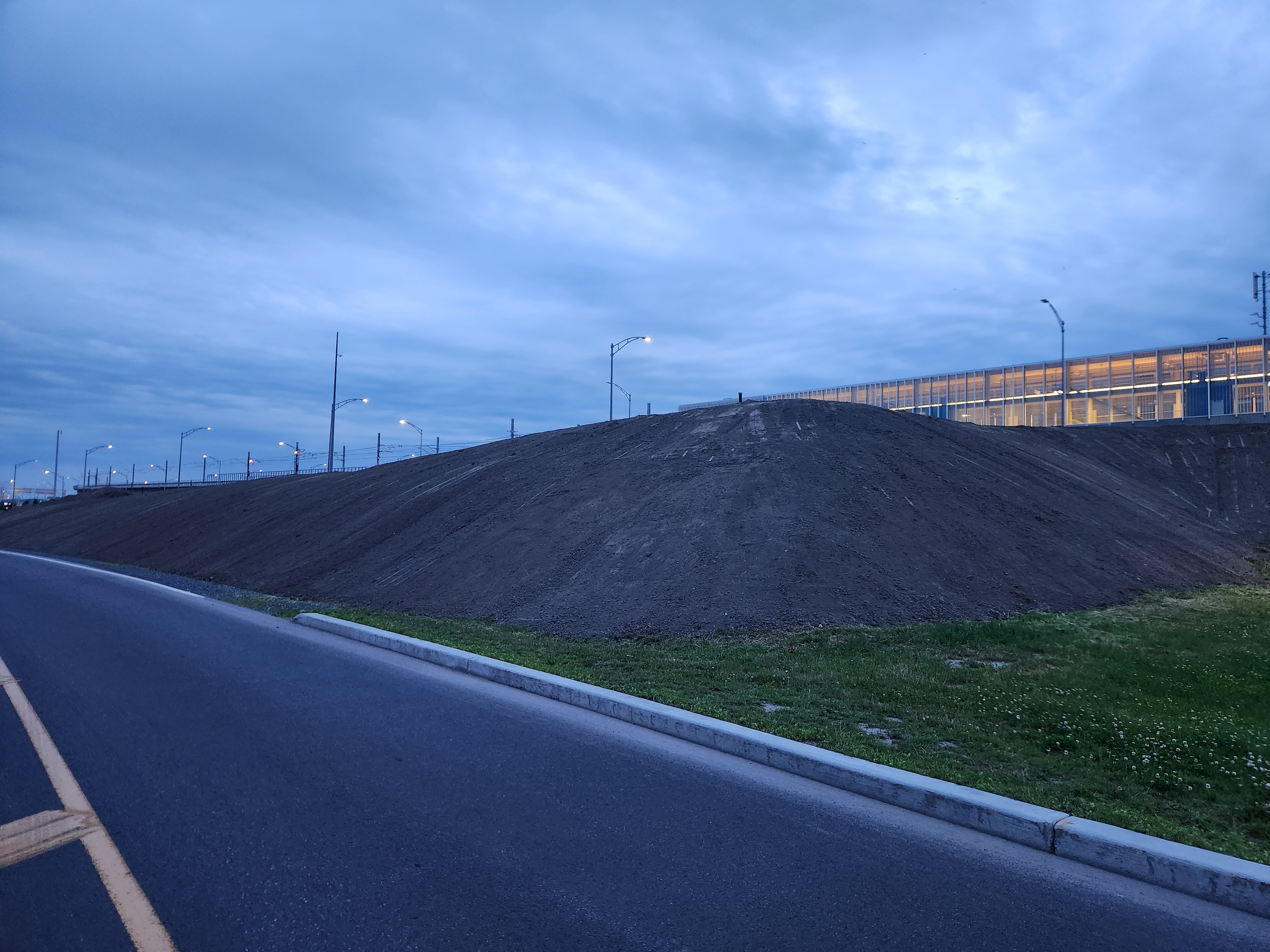
I saw them making this a few days ago, it seems they’re possibly trying to separate the highway and street below from the highway more? Maybe to make it more pleasant I hope!
L’écran qui affiche les prochains départs n’a pas été nettoyé depuis longtemps. Il est plein de toiles d’araignées. Aussi, il n’est pas assez lumineux pour être lu quand le soleil frappe.
Est-ce juste moi ou ce serait vraiment intuitif si les quais d’autobus étaient numérotés? C’est très mélangeant considérant qu’il y a plusieurs quais de chaque bord (2 du côté Nord et 5 du côté Sud).