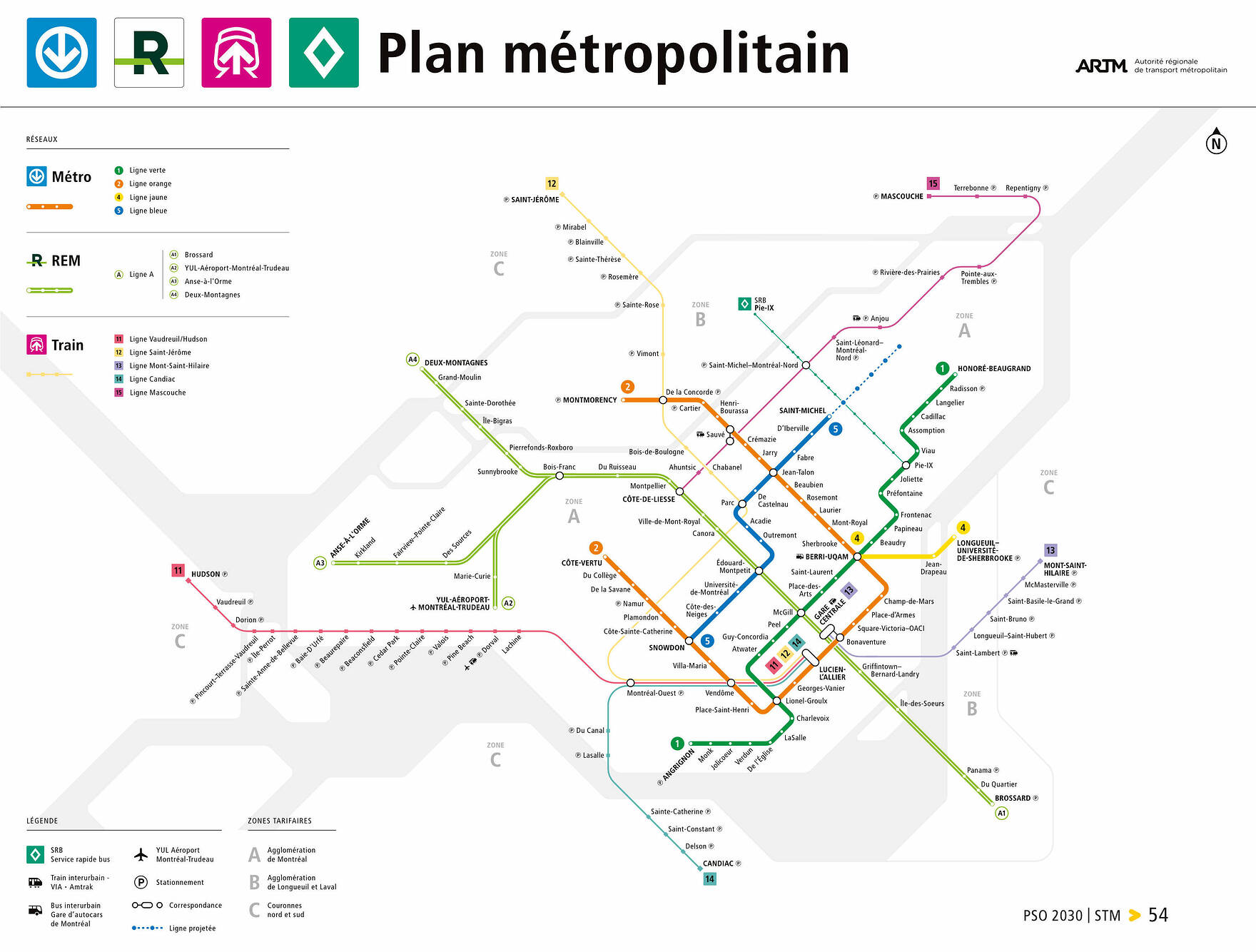
If I base myself on your swatches at the end, I think the pastels are harder to read on the aqua colour background. On the other hand, if they were ever to be integrated into the Réseau métropolitain map with its black background and dark grey for water, maybe pastel would be better?
I guess these lines are still being piloted but it would be nice to see them integrated into the metropolitan map. Also… kinda crazy that the metro offers black and white backgrounds to the metro network but there’s only a black background to the metropolitan map? (Also also, don’t think too hard about the semantic mush that is a Metro map and a metro-politan map…)
I wish maps that showed transit lines would indicate just how far tail tracks and garages extend beyond terminal stations, like the Blue line almost 800 metres to Finchley, southwest of Snowdon, or the Orange almost 1.5 km northwest of CV to Poirier.
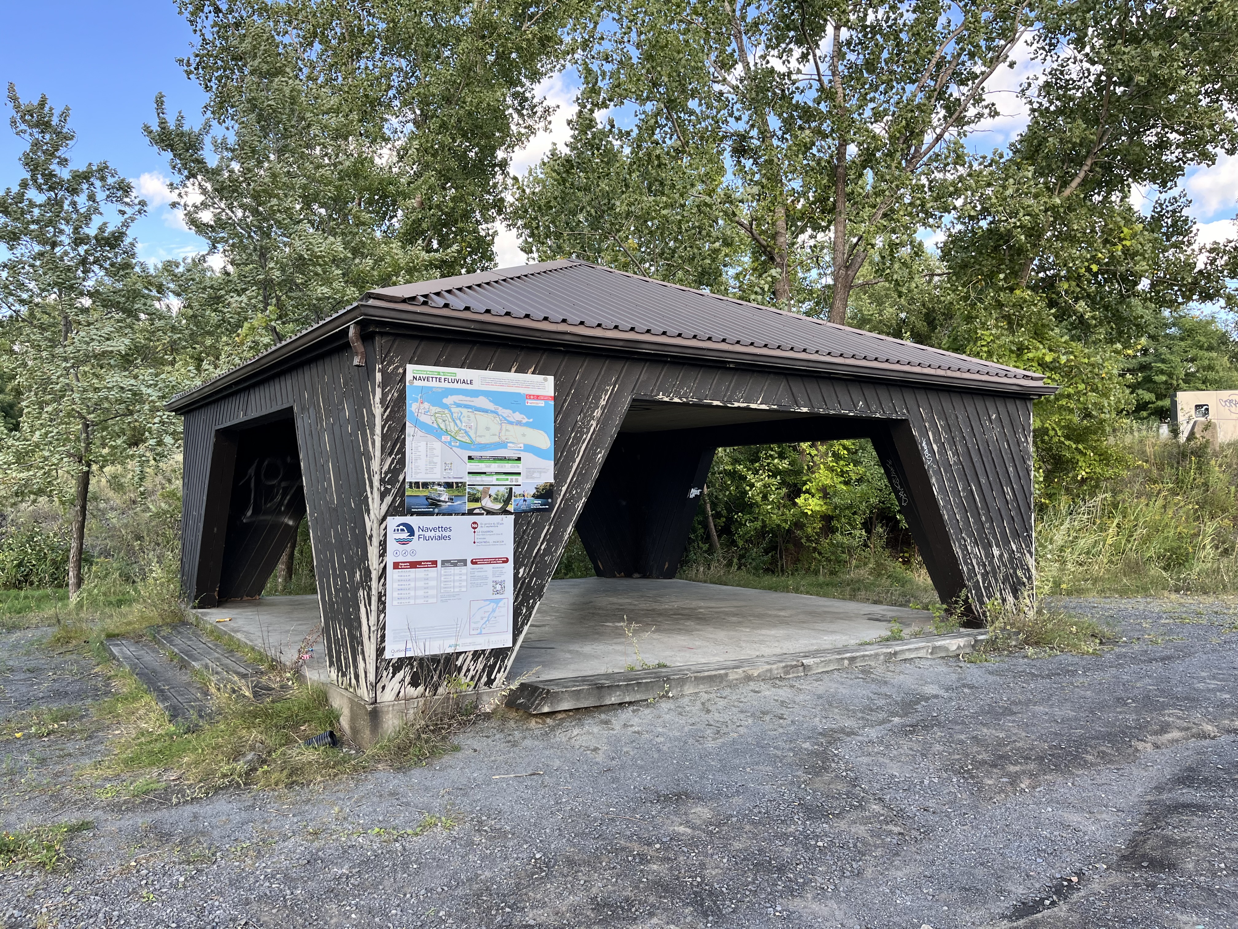
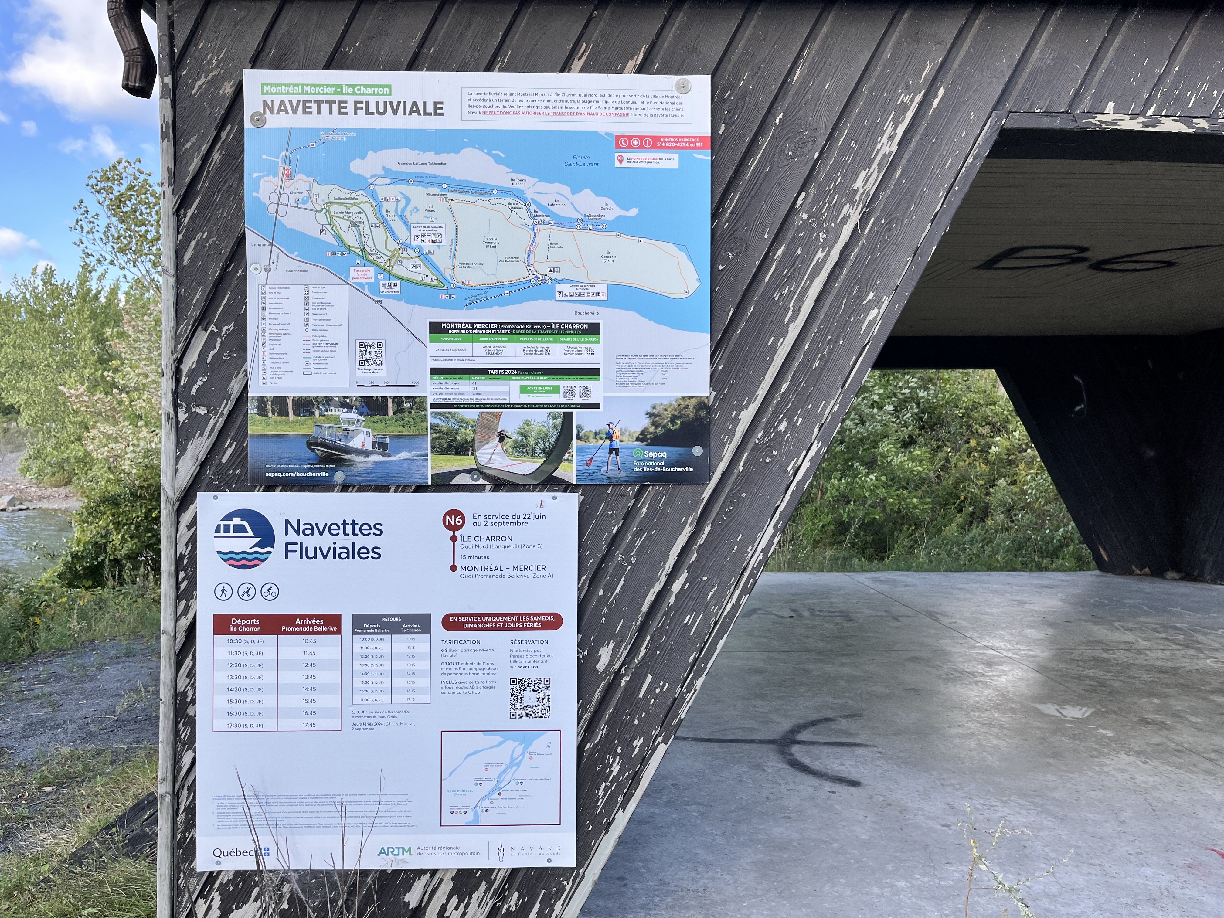
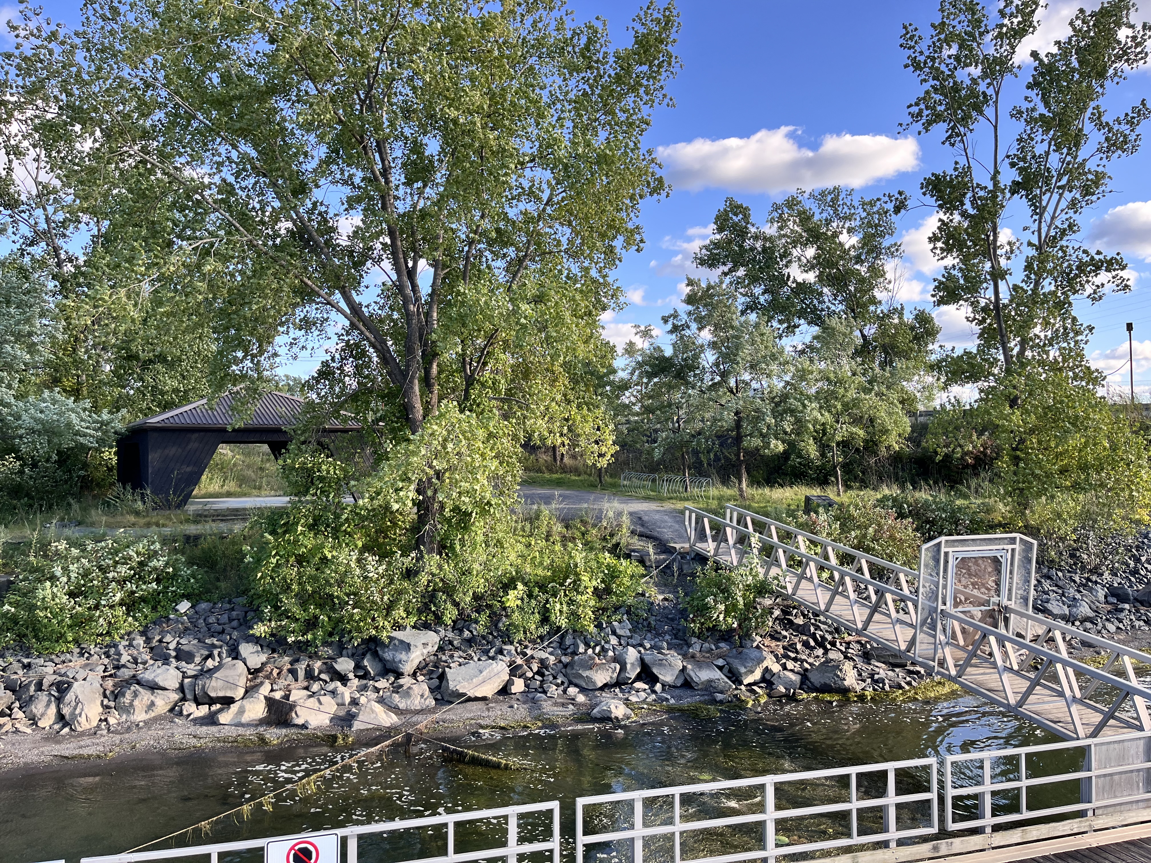
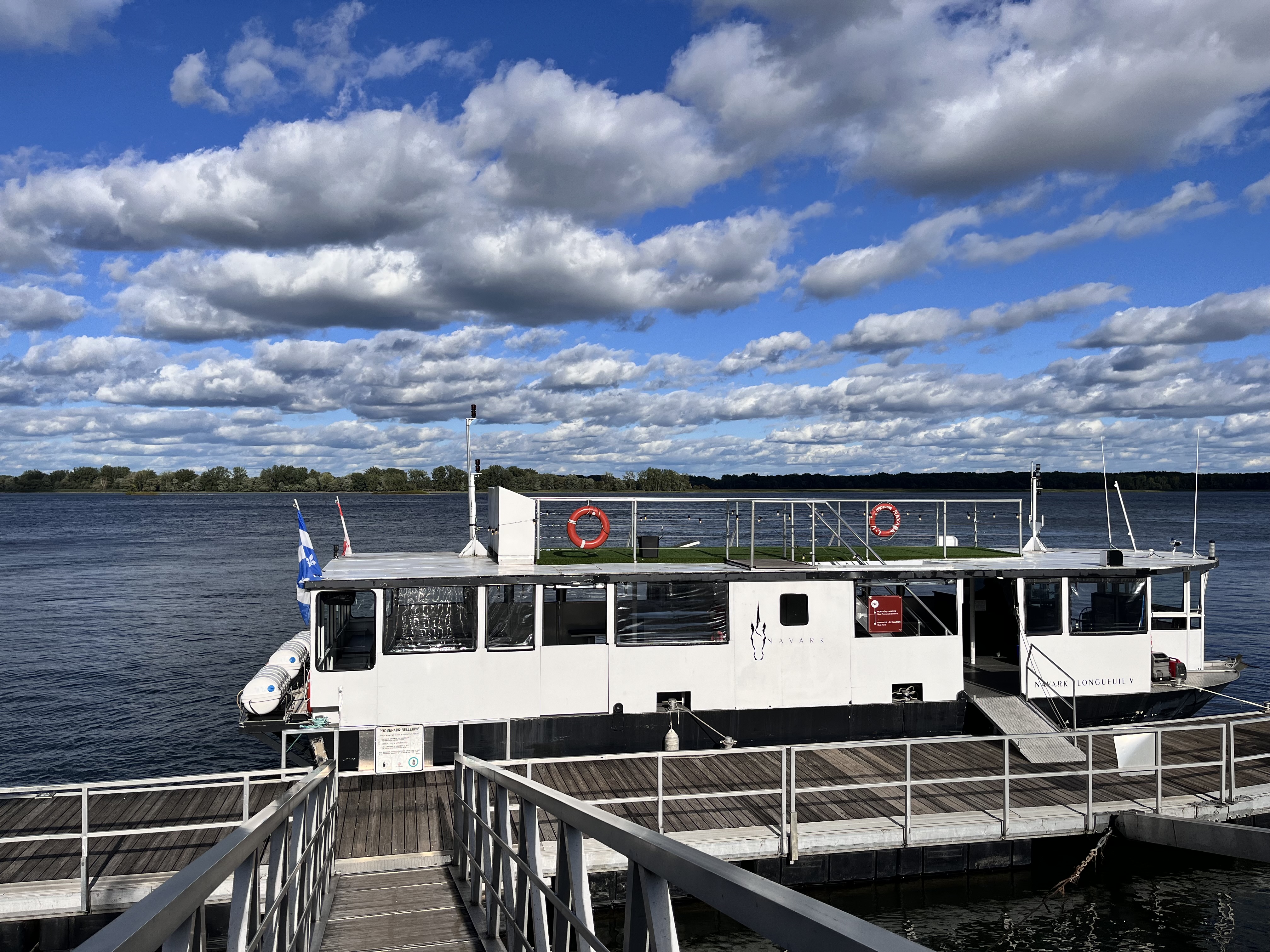
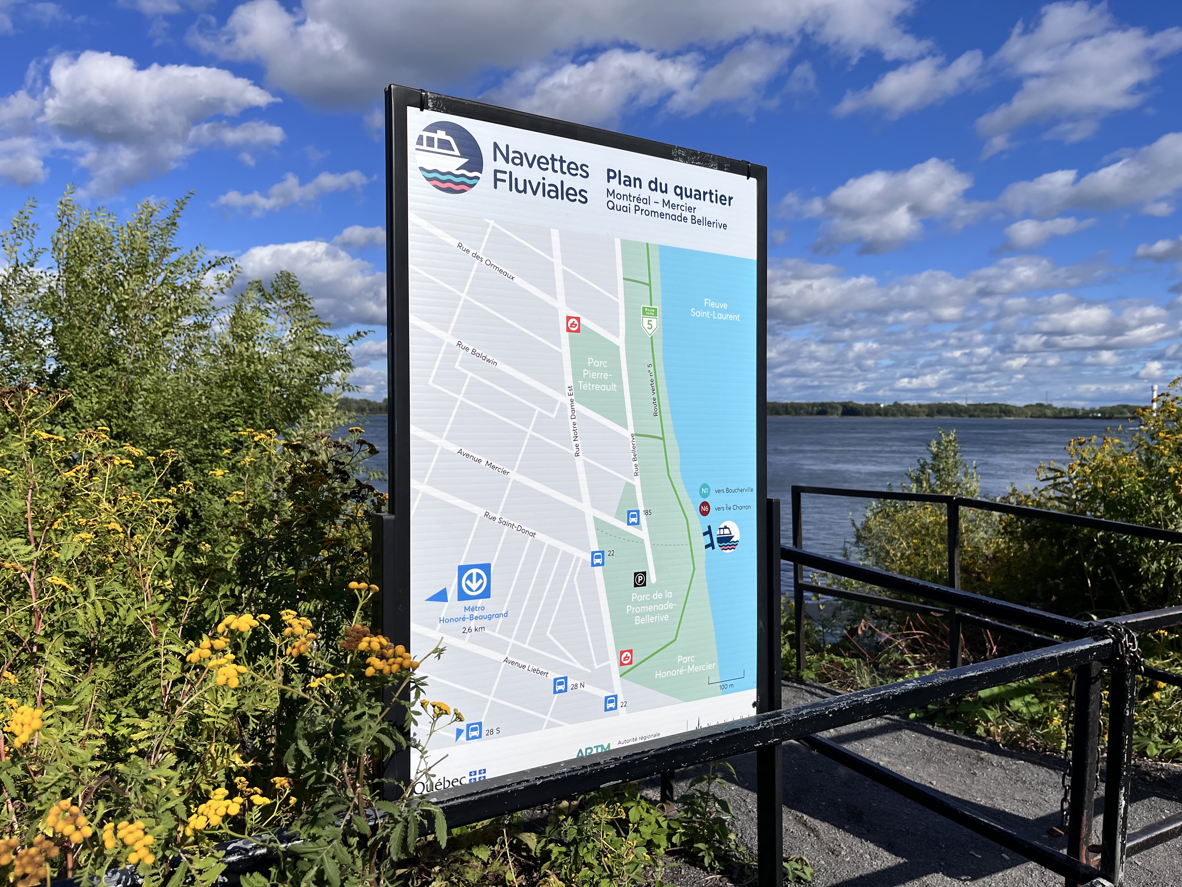
2 août 2024 • Quai Nord de l’île Charron
Il y avait du faux gazon sur la terrasse sur le toit du bateau. Il y avait aussi de la musique qui jouait à bord.
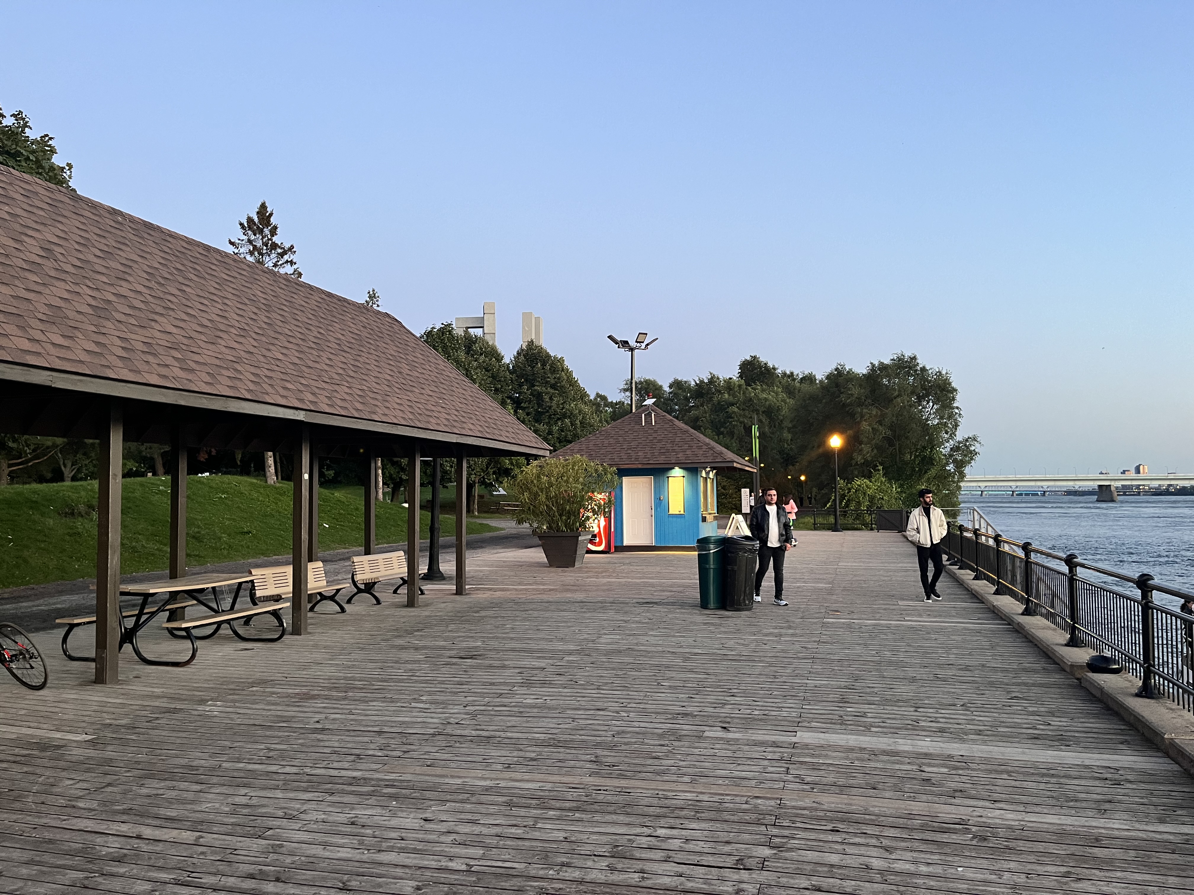
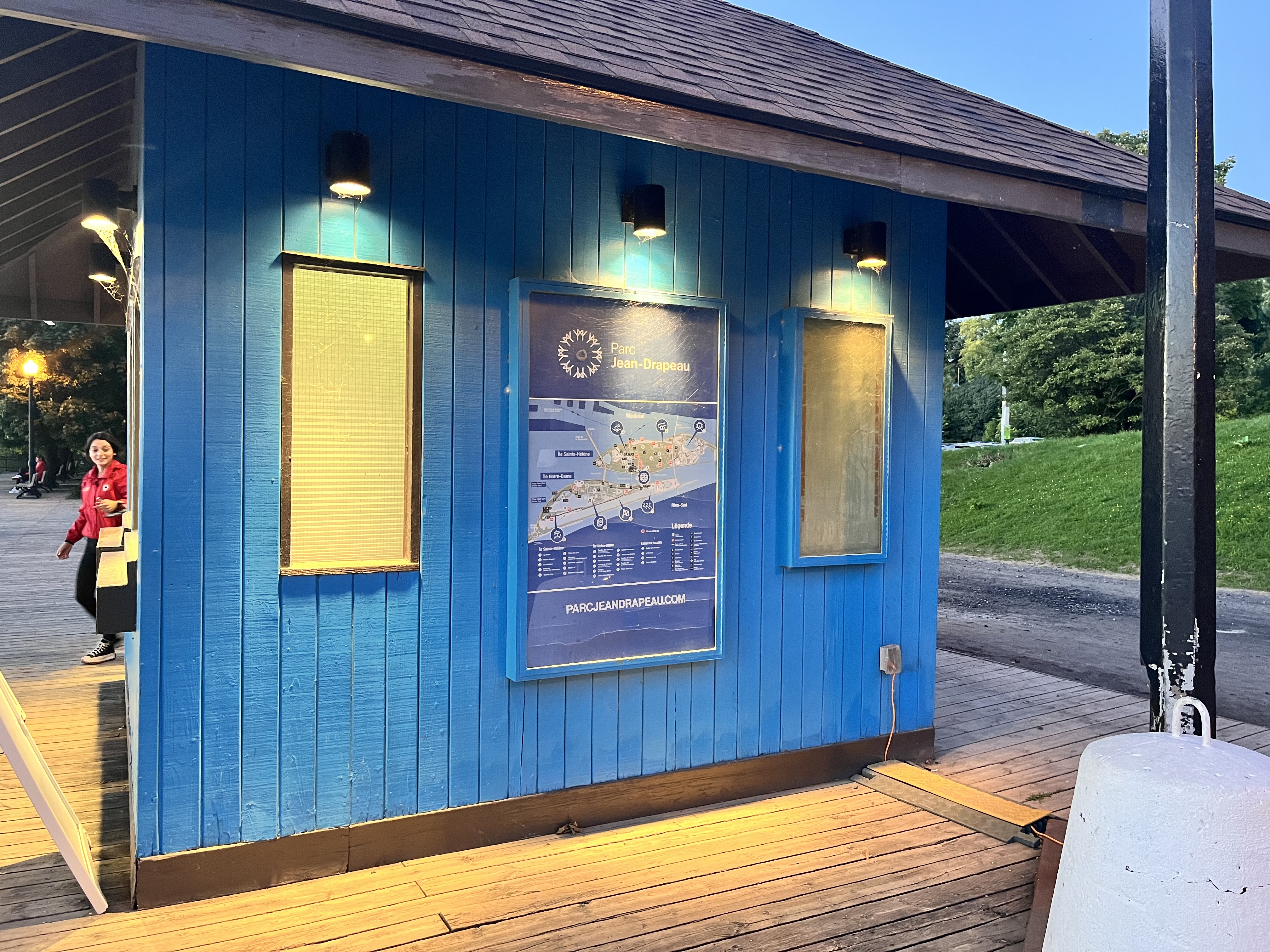
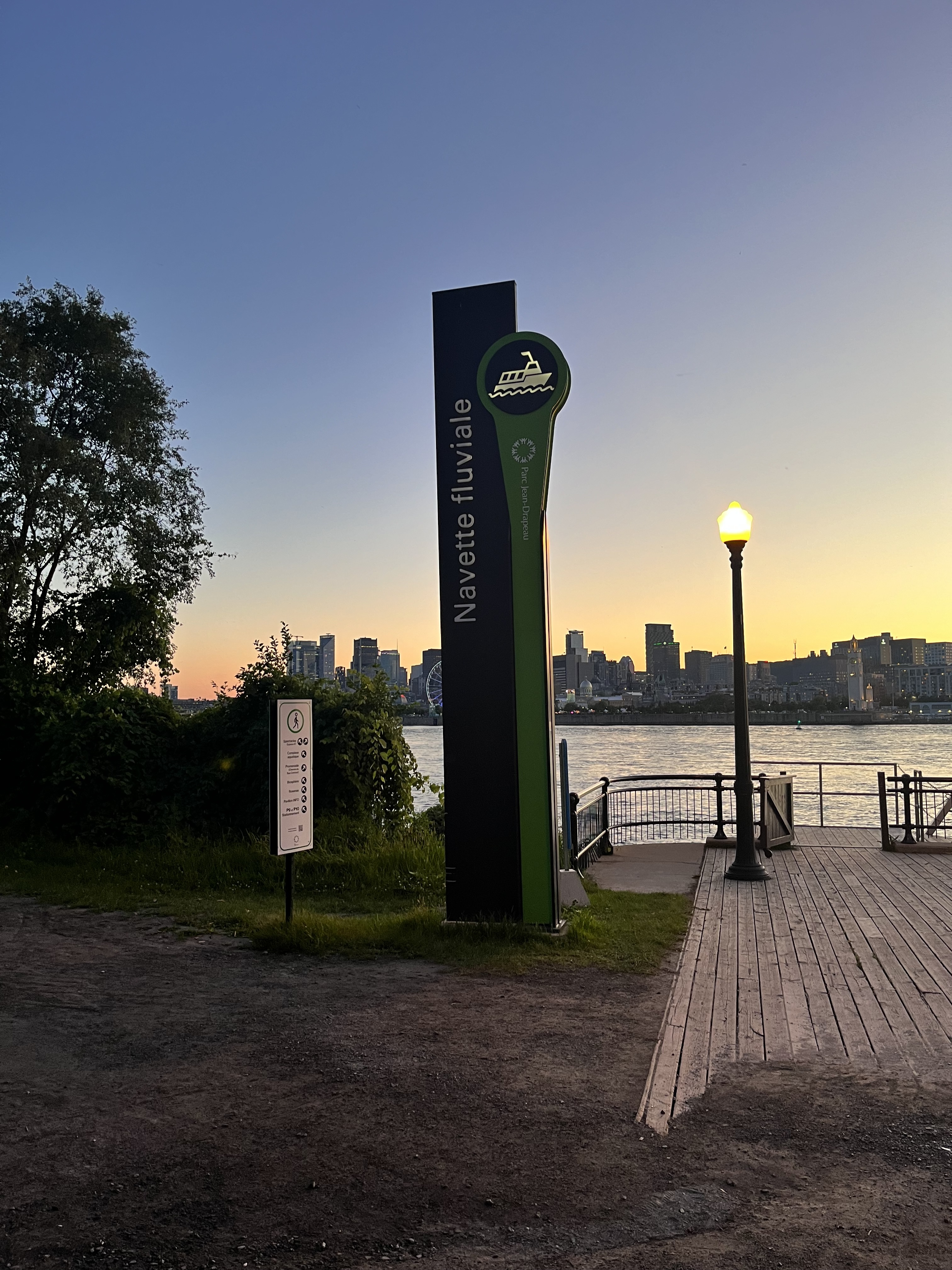
2 août 2024 • Quai du parc Jean-Drapeau
Il semblait être possible d’acheter des billets dans le petit bâtiment et il y avait deux pancartes avec les horaires au sol en face du kiosque.
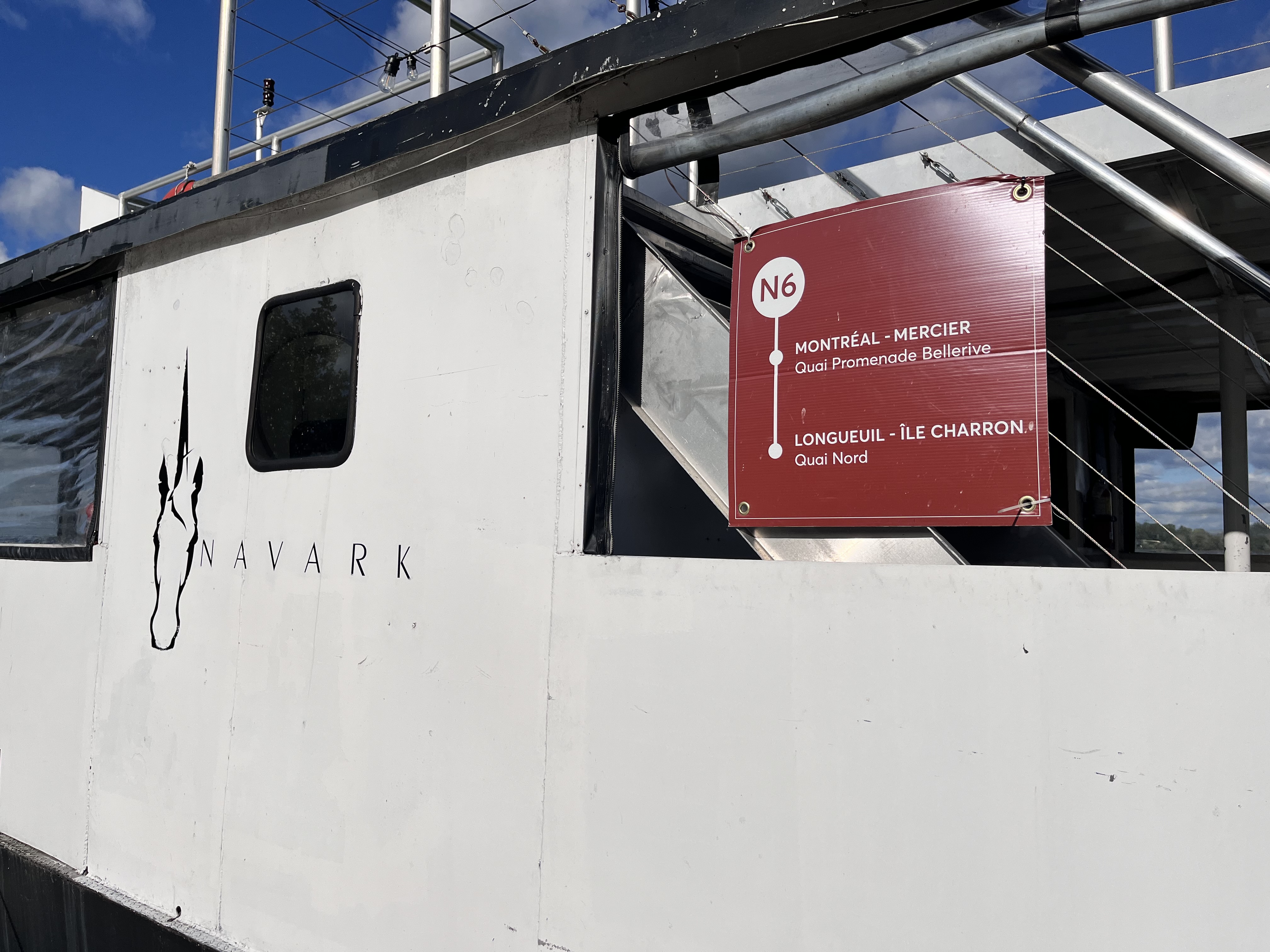
À l’occasion des célébrations de son 150e anniversaire, le parc Jean-Drapeau a organisé une fin de semaine de camping pour une vingtaine de familles. Le but ? Promouvoir le plein air et tester la navette fluviale entre le parc Jean-Drapeau et le camping urbain du parc national des Îles-de-Boucherville, qui deviendra dans le futur une offre permanente.
Étant en « projet pilote » lors de la fin de semaine, le trajet entre les deux parcs s’ajoutera éventuellement à l’offre de la navette fluviale, elle dessert actuellement le Vieux-Port de Montréal et le parc Jean-Drapeau, précise Véronique Doucet. « Ce sera sûrement une offre de service similaire ou peut-être qu’on sera sur une base plus ponctuelle. Tout ça est évalué », note cette dernière.
Meanwhile it’s 22° and sunny. If we were serious about ferries as part of the public transport mix – as opposed to a tourist attraction – we could use better, more stable crafts and run them at least 10 months a year.
In London they have Uber Boat which is really fast, in NYC they have many ferry services but a big one is NYC Ferry which also is useful for going between the boroughs.
Montreal should really follow them as examples, have the ferries more frequent and not just every hour (except maybe outside of rush hour), and have buses link up to it more for multimodal connections.
Obvi ferries are more realistic in cities with waterways that are safely navigable year-round, and that have real waterfront activities and occupancy over a larger area. Until Mill Point, Bonaventure, and Molson are fully developed along with more waterfront locations in Brossard and Old Longueuil, we likely won’t get much improved ferry service here.
True for Brossard. But when Myral, Port-de-Mer and Pointe-de-Longueuil are completed and fully occupied, that’s a lot of new residents. A real transit ferry between Alexandra, Marina de Longueuil, Molson, and Esplanade Cartier (somehow) could be a valuable asset.
And a station on the 4-yellow line on the waterfront to connect Old Montreal ferries to the metro. (As well as giving tourists and residents better access to eastern Old Montreal more generally.)
Yup exactly. Marina de Longueuil is a good location in general, but it’s a long trek to the Metro – maybe 35 minutes for a healthy person. A ferry pier right at the end of the Seaway channel (as part of the Pointe development), plus a good path to and through a tunnel or bridge under or over the 132 would cut that hike down by maybe three-quarters, and become a valuable transit connection.
Le jour où l’ARTM décidera finalement de pérenniser nos navettes fluviales, j’espère qu’elle investissera dans une flotte de bateaux à la fois électriques et rapides.
Stockholm teste présentement des catamarans hydroptères électriques qui permettent de rejoindre une des îles les plus enclavées, en 30 min. (au lieu d’une heure) à partir de son centre-ville.