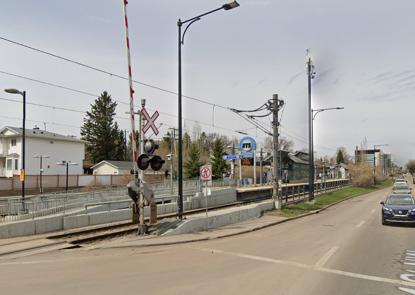
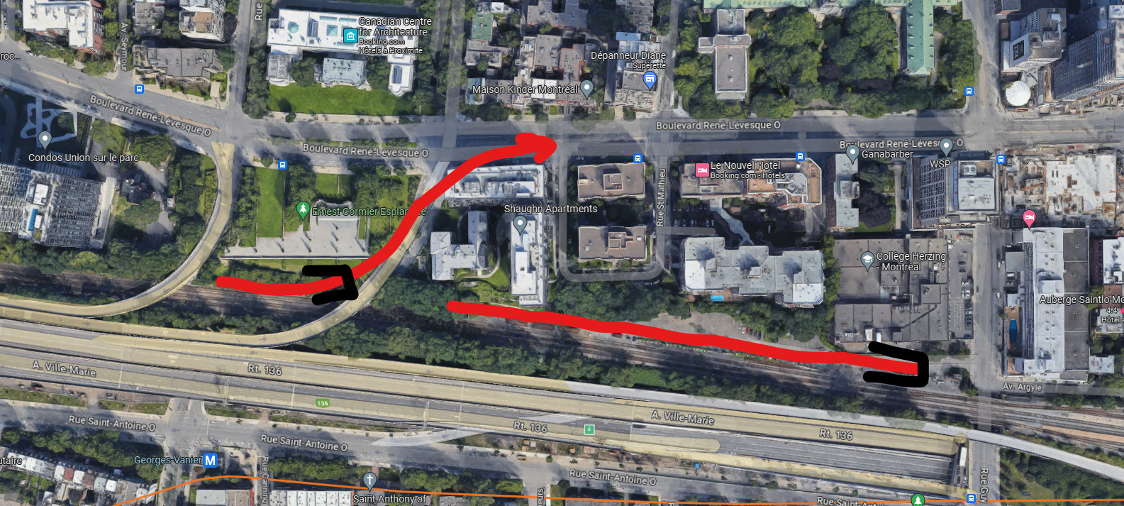
There’s absolutely no way that you can exit a tunnel at Lucien L’Allier
This is true, I failed to account for the orange line, bell centre and the road being so close, It would make it impossible to dive there. However, there is 300m of flat, CP maintenance yard between the rue guy exit and the rue guy, which would be plenty for a tunnel portal for any mode other than mainline rail. There’s also the option of diving under the rue guy exit, which would cut straight into the 10m cliff between the Vendome sub and the park, which would require only a very short tunnel. The edge of the Ernest Cormier esplanade may however be in the way.
Citation The slope between Vendôme and Lucien L’Allier is almost at the maximum that a train can handle the entire distance between those 2 stations
The grade between these stations must be the maximum for a heavy rail train, 2-4%, but not the max for a light rail or metro train. Light rail and metro trains regularly climb 5-7% grades (see Portland). The difference between these grades (2-4% and 5-7%) would be large enough that a tunnel portal could be build, it would just be long, 300 metres or more.
The Westmount sub is a very busy corridor but, along most of the length there is enough room to add 1 track each side, similar to the original plan for the ontario line in Leslieville. This would allow for a very cost effective grade separated transit line to be built.
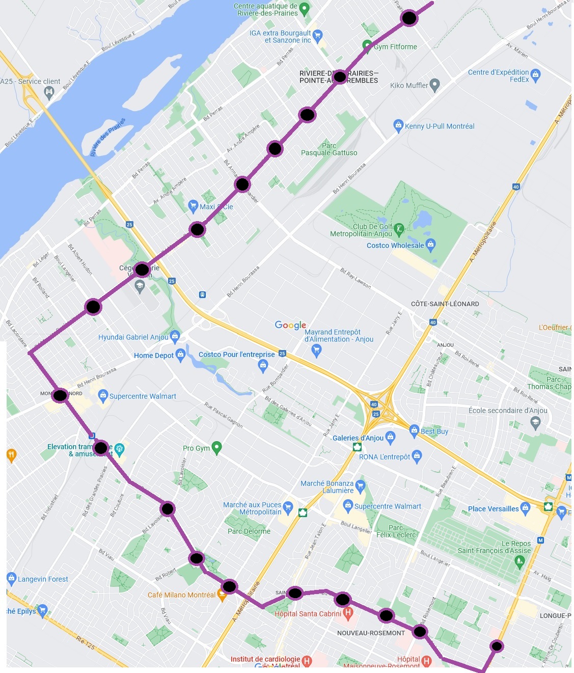
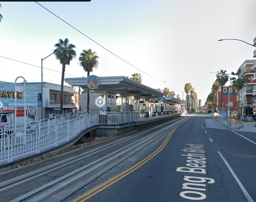
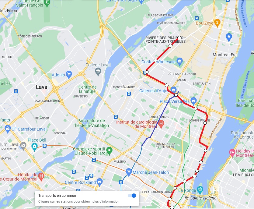
Also, on american LRT systems, they have their issues, but those issues are mostly in relation to the operators, not the system. The frankfurt U-Bahn, an LRT system, has peak frequencies of 3-4 minutes on many lines that have both at grade and tunneled sections. The calgary C-Train had 4-7 minute frequencies in the peak pre-pandemic. When these networks are done right frequency is no issue. Having at grade sections does reduce maximum theoretical frequency, but the cost savings you can get from not tunneling suburban sections are enormous. For example, the current PSE plan under study is to have a tunnel from Rivière des Prairies all the way to Mercier Est, because of nimbys and a want to keep it fully automated. If LRT was built instead, only a short tunneled section between the Hopital Rosemont and the metropolitan would be needed. The rest of the alignment could be on viaducs, at grade, and in the middle of boulevards. Street running sections also dont have to be slow, with full signal priority (gates) trains can continue to move quickly on surface sections. You need to prioritise the train over traffic, and sometimes 2-4 lanes of traffic may need to be removed to keep the LRT moving quickly on boulevards. In railway right of ways, and LRT basically operates as a train, going up to 100km/h. In LA, the blue line which includes 2 street running sections, takes 58 minutes to cover roughly 45 km, where in Vancouver, the expo line takes 45 minutes to cover roughly 30km which is roughly the same average speed, despite one being grade separated. I think people conflate the system with the operator in the case of LRTs, the Americans may be poor at operating them, but the Germans have many good examples of LRT systems beating out whole metros.