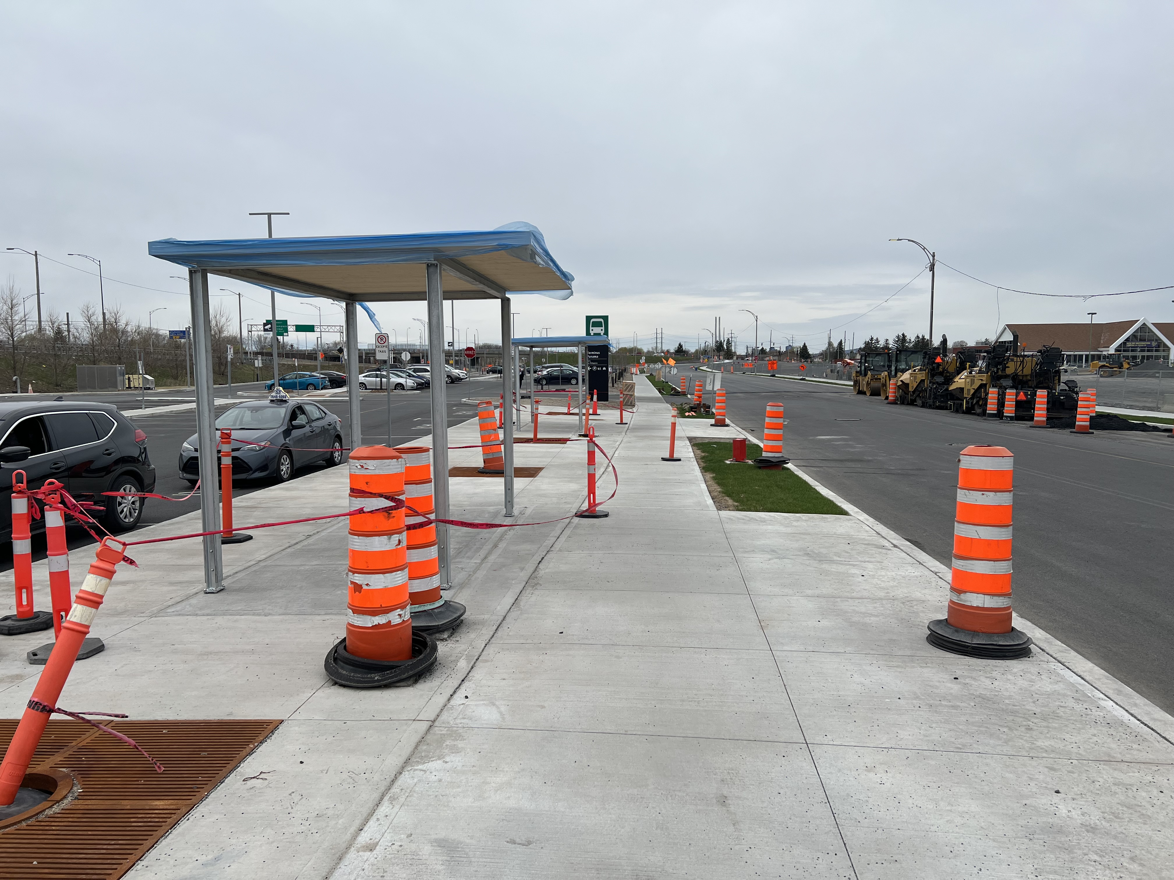
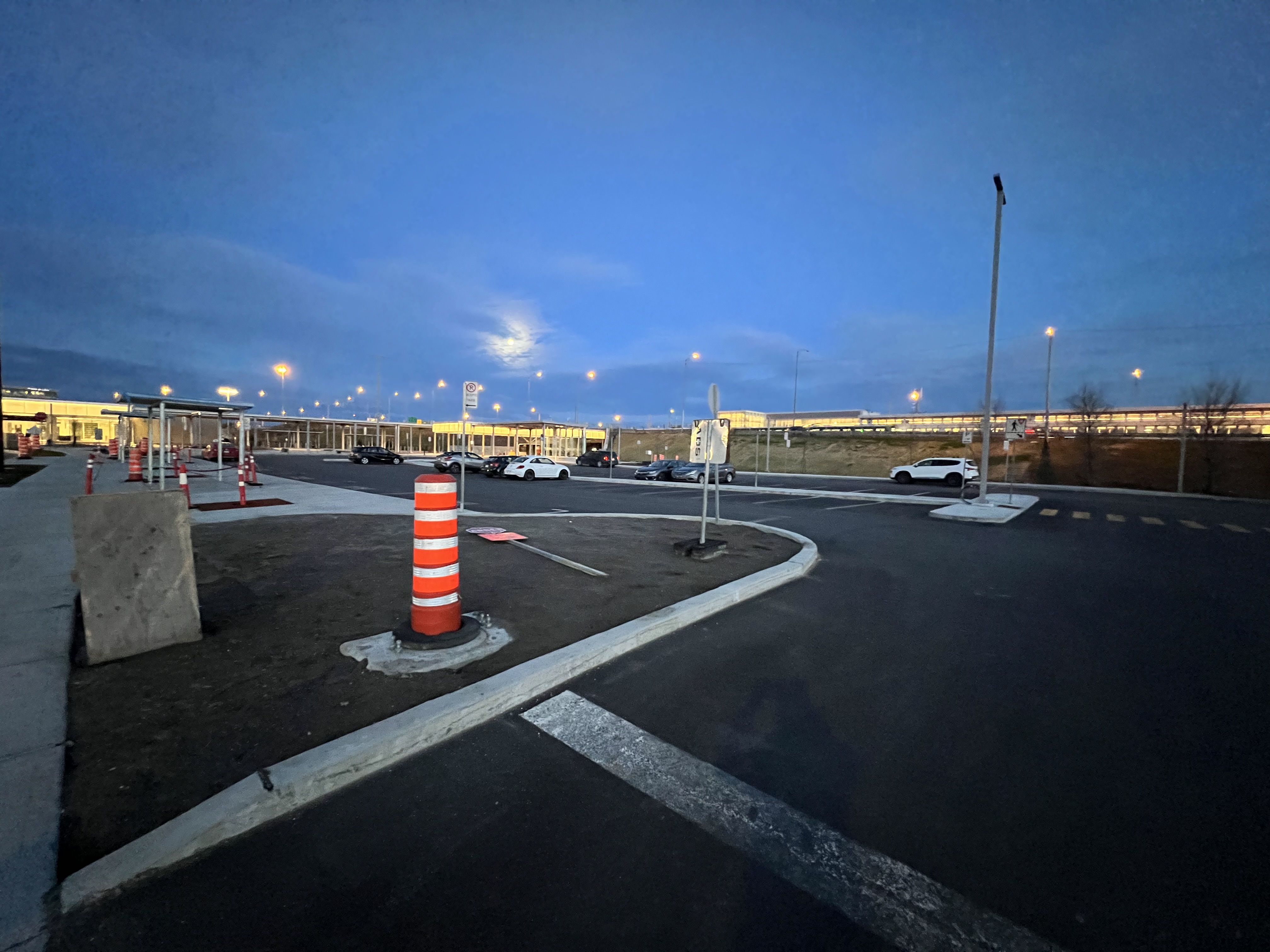
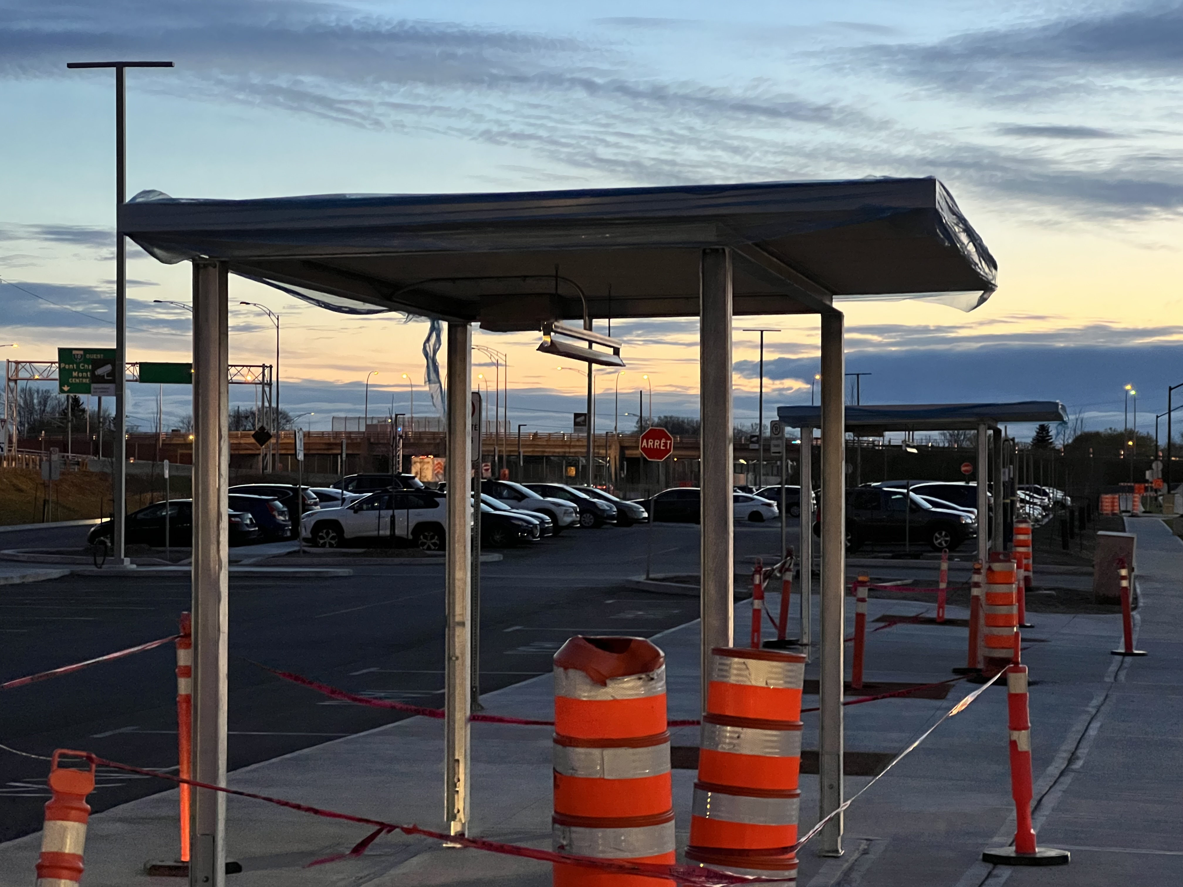
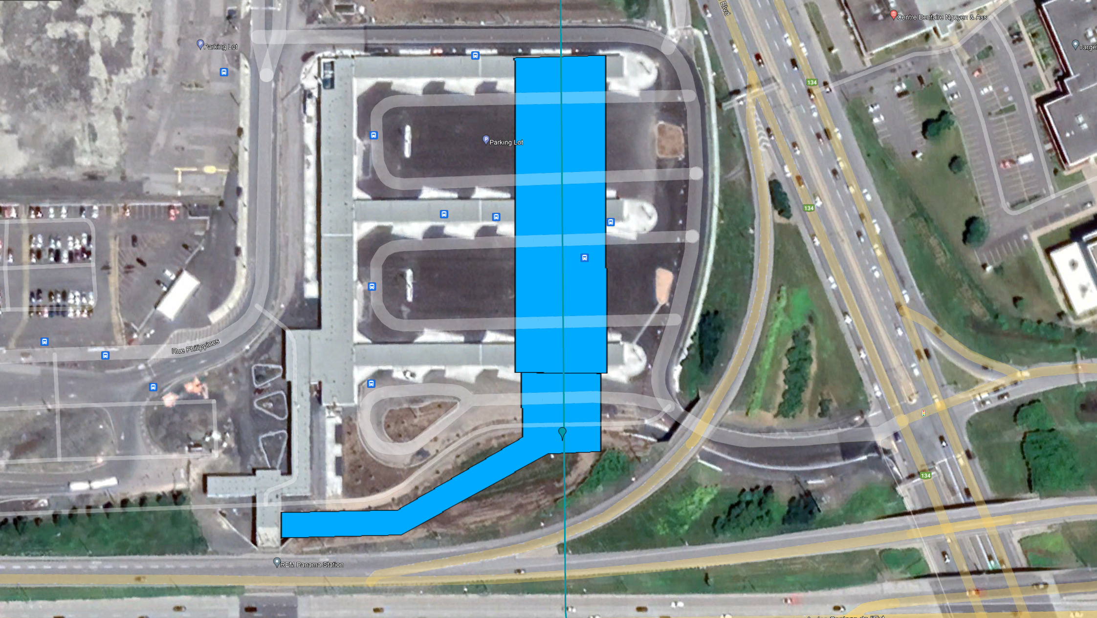
New shelters have been added for those waiting for taxis, which is also where some buses will drop people off to connect to the REM (and save time, instead of doing loops around the terminus):
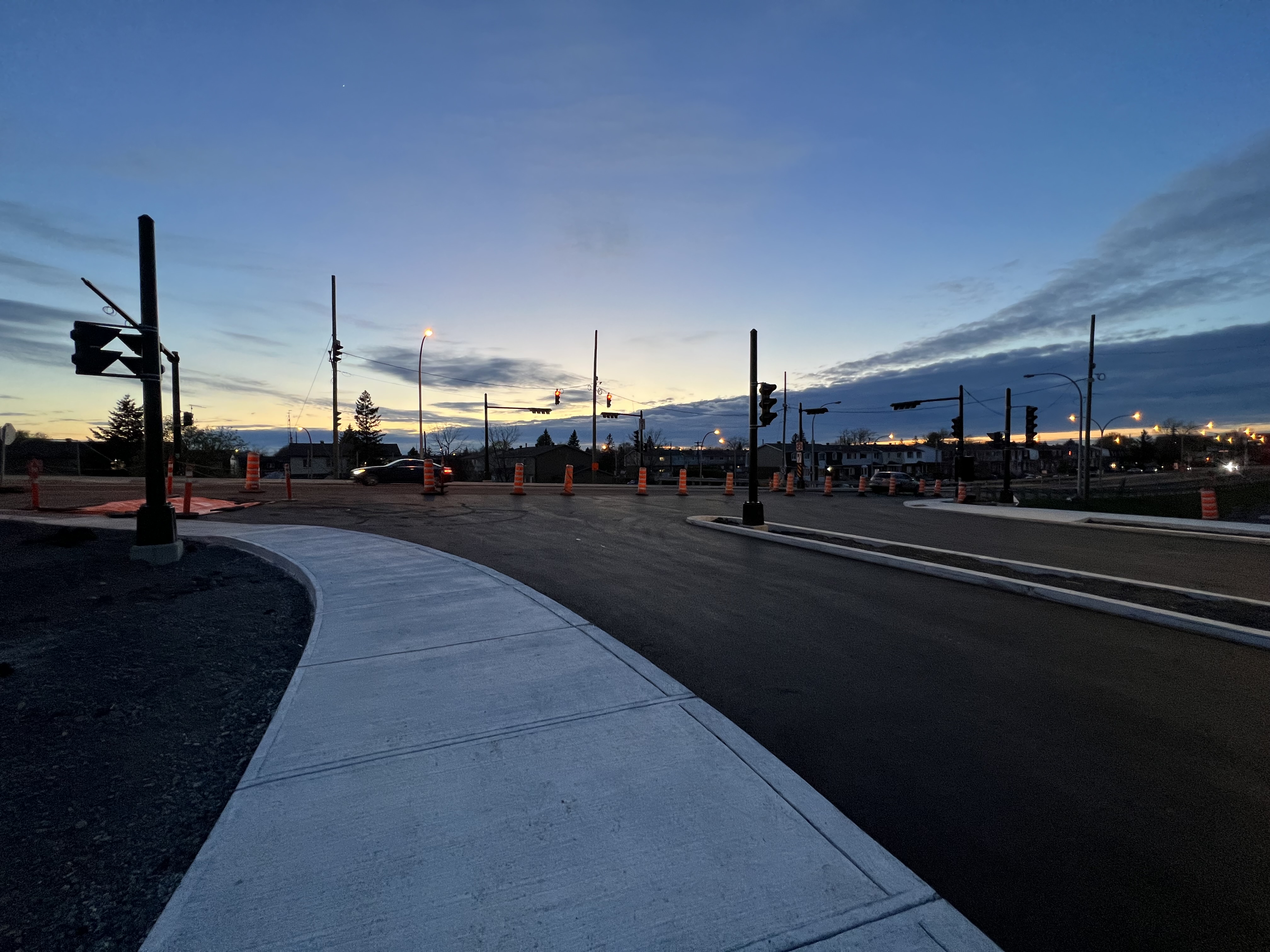
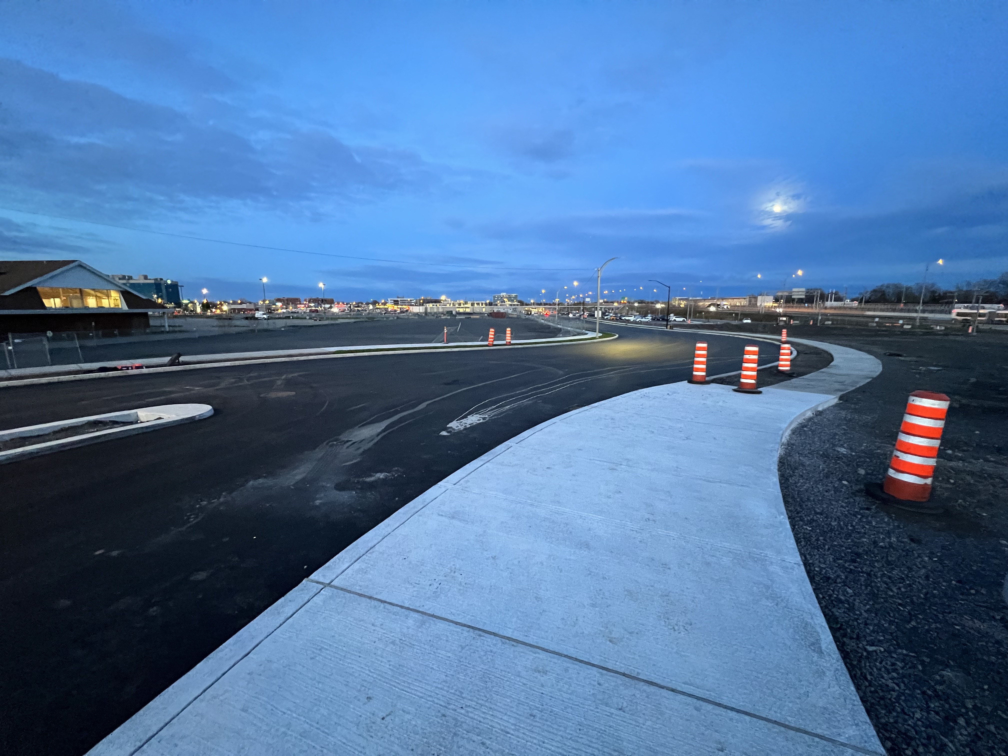
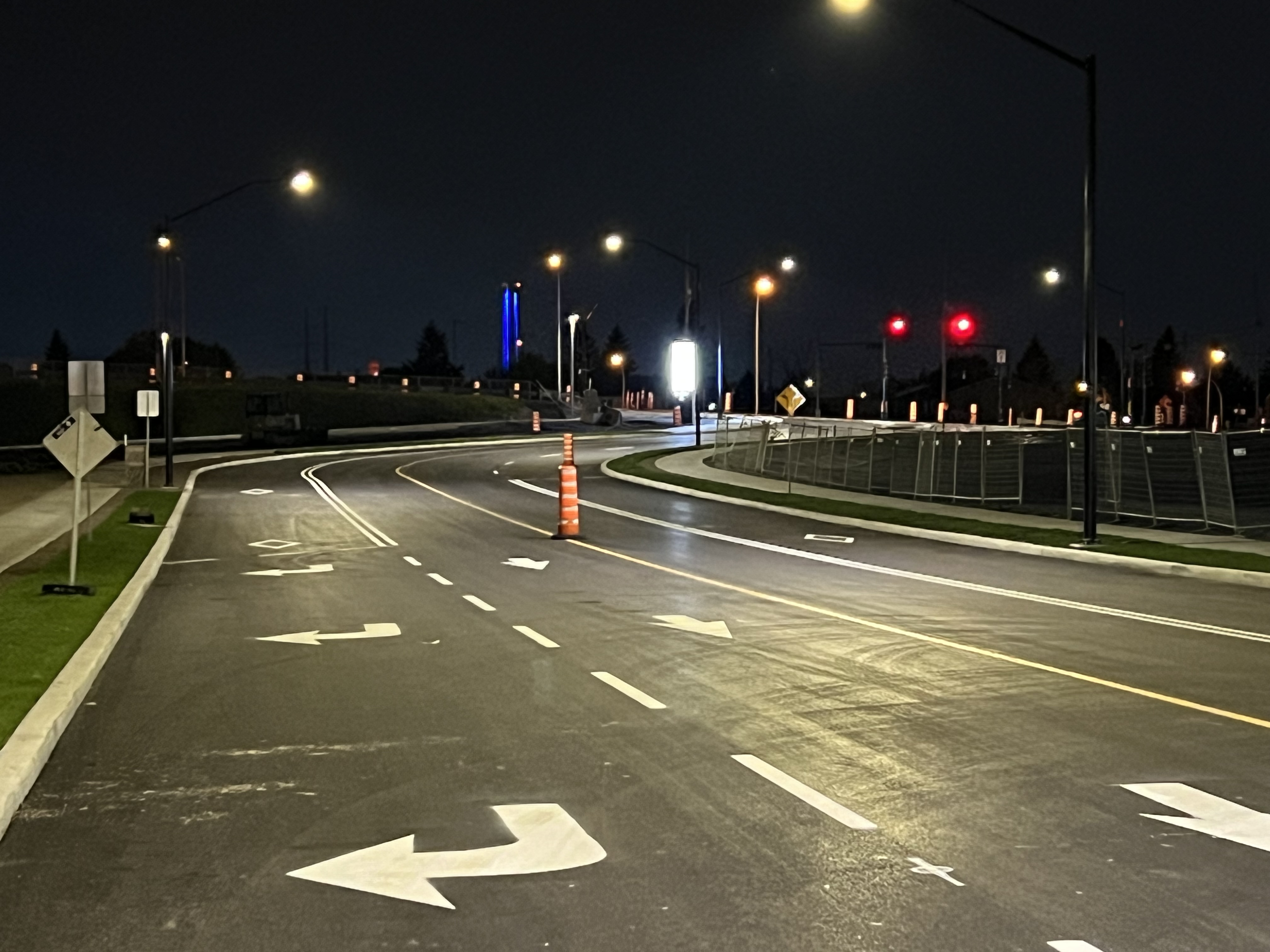
Also in the distance you can see they’ve added another layer of asphalt. They’ve also finally completed the intersection, adding a small island and new permanent traffic light. Not all of it is complete just yet.
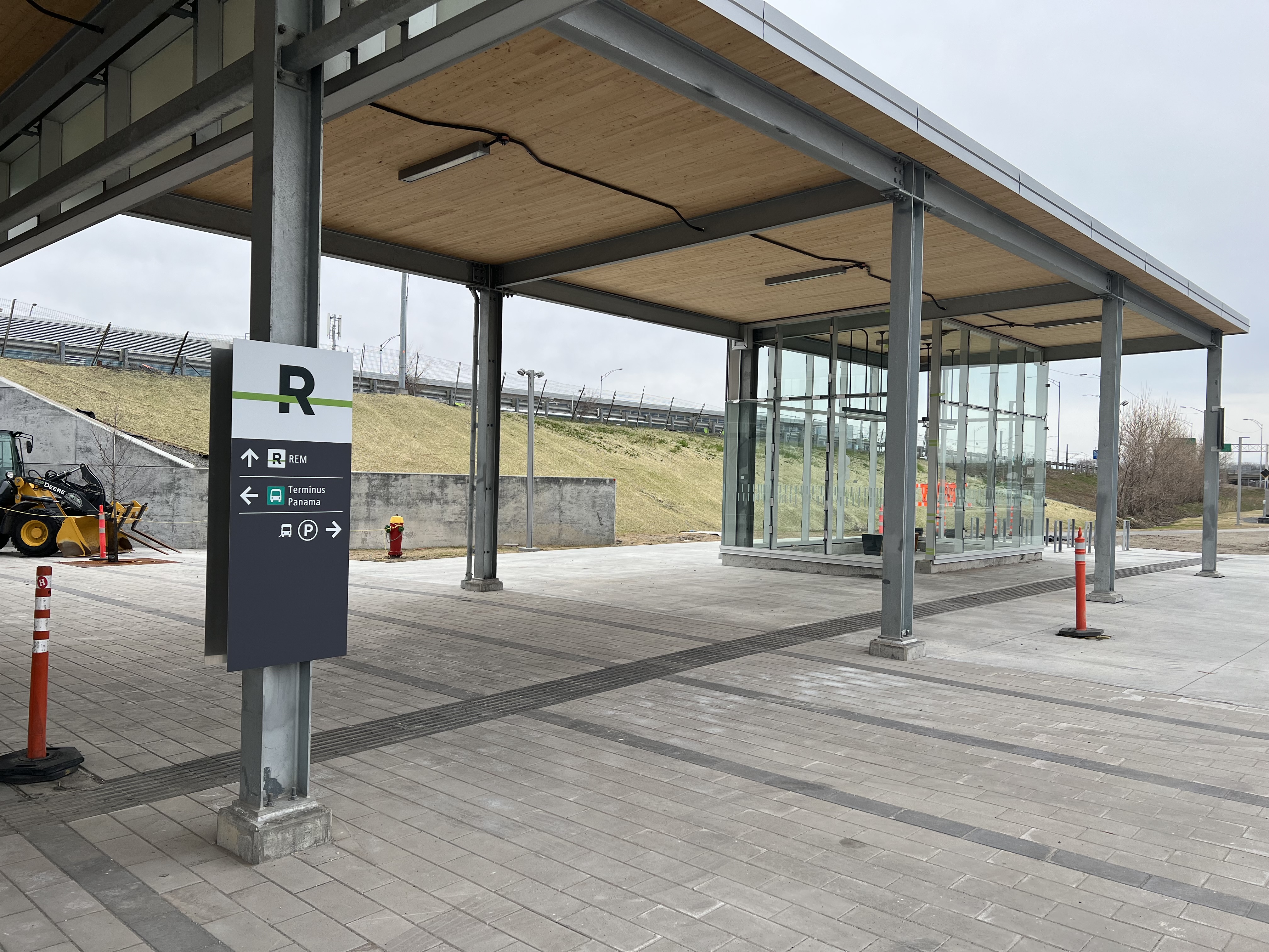
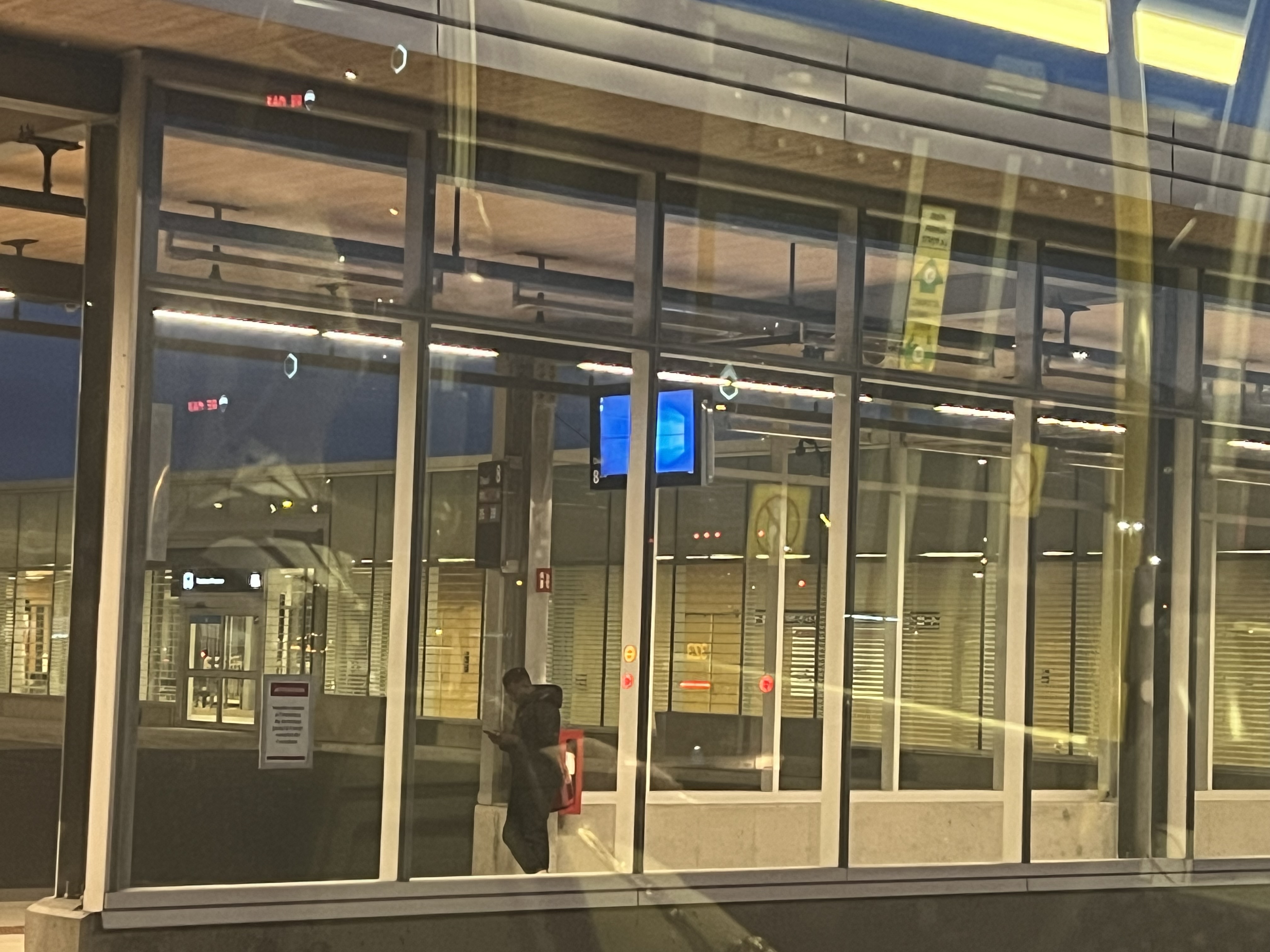
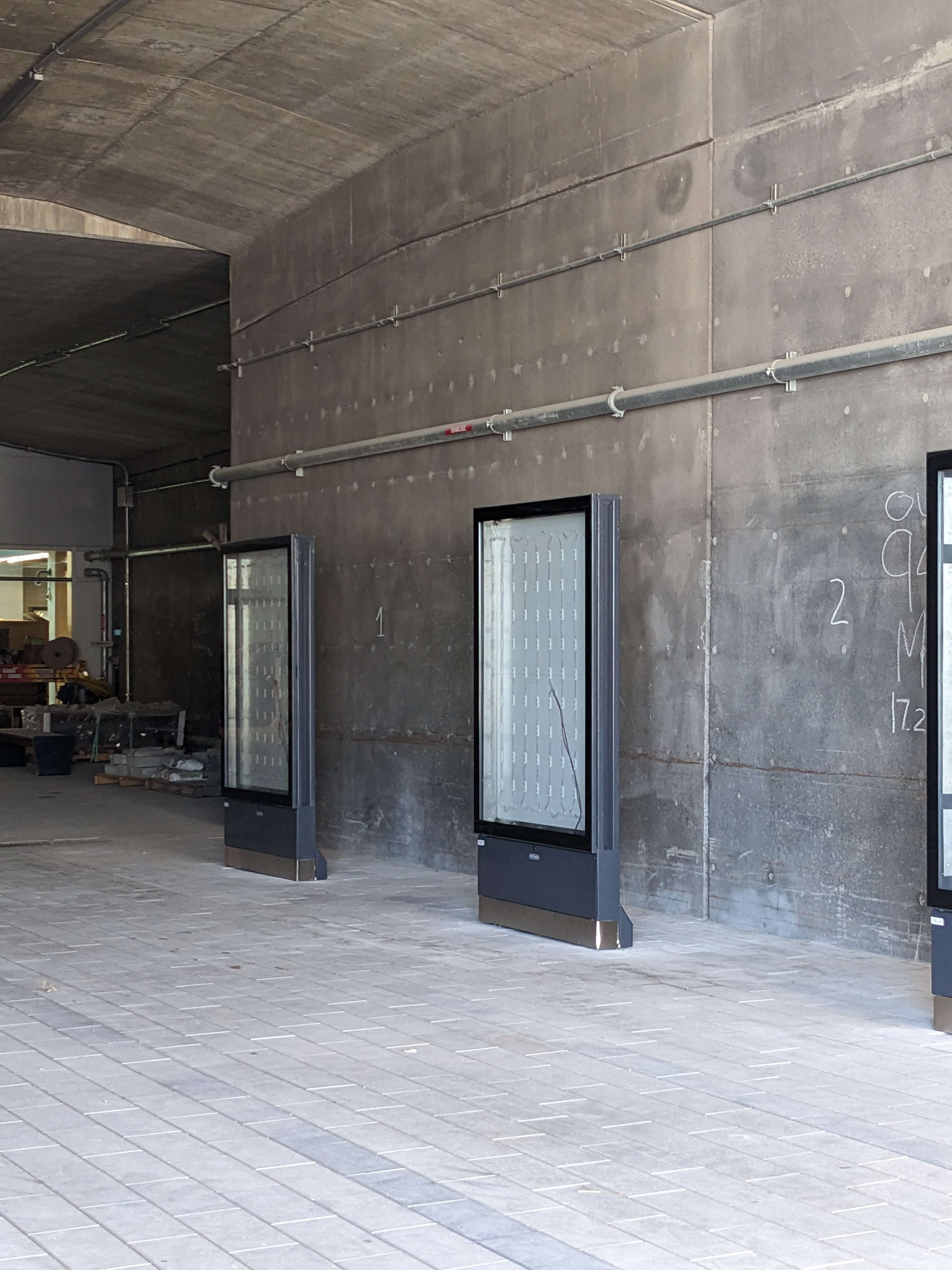
The adaptive transport waiting area has glass installed, and there’s a new sign added too:
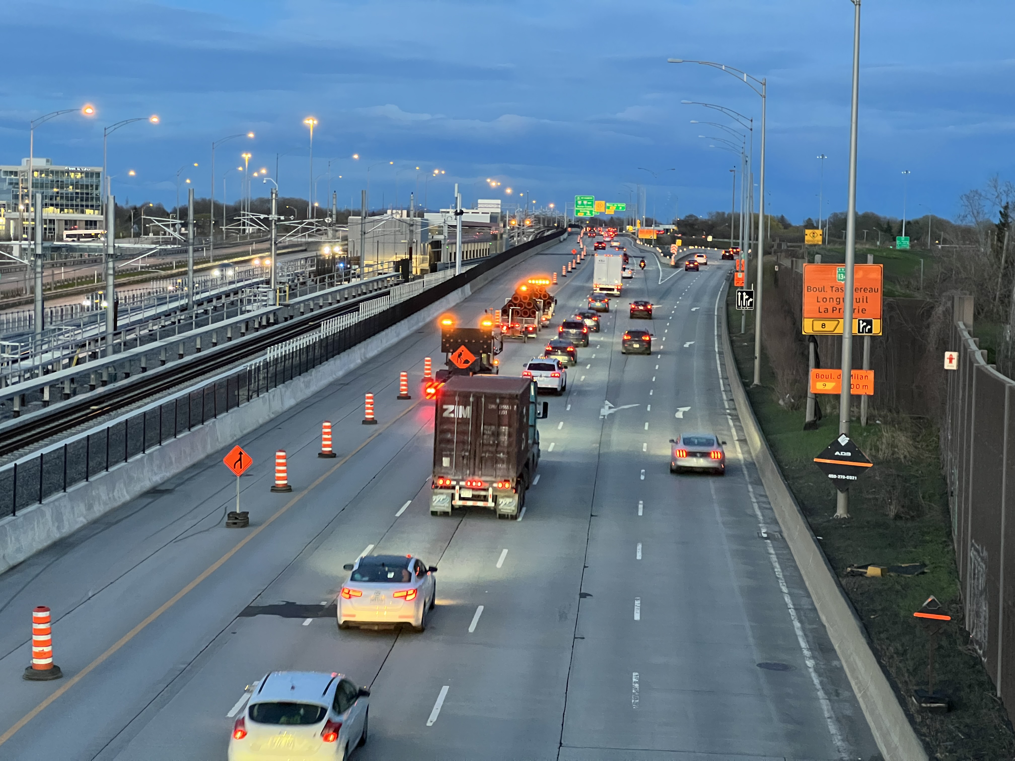
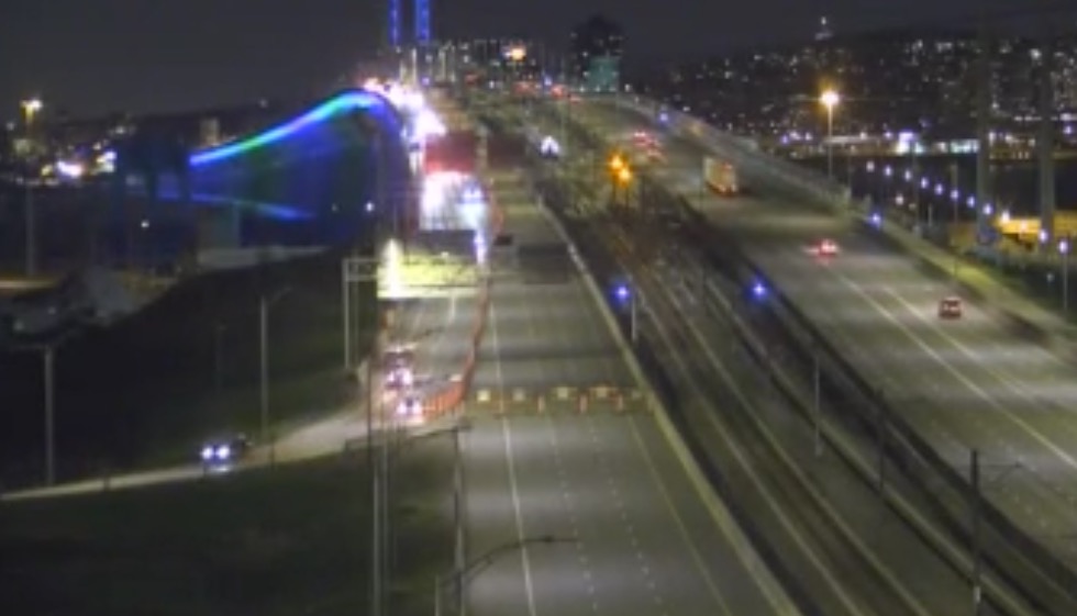
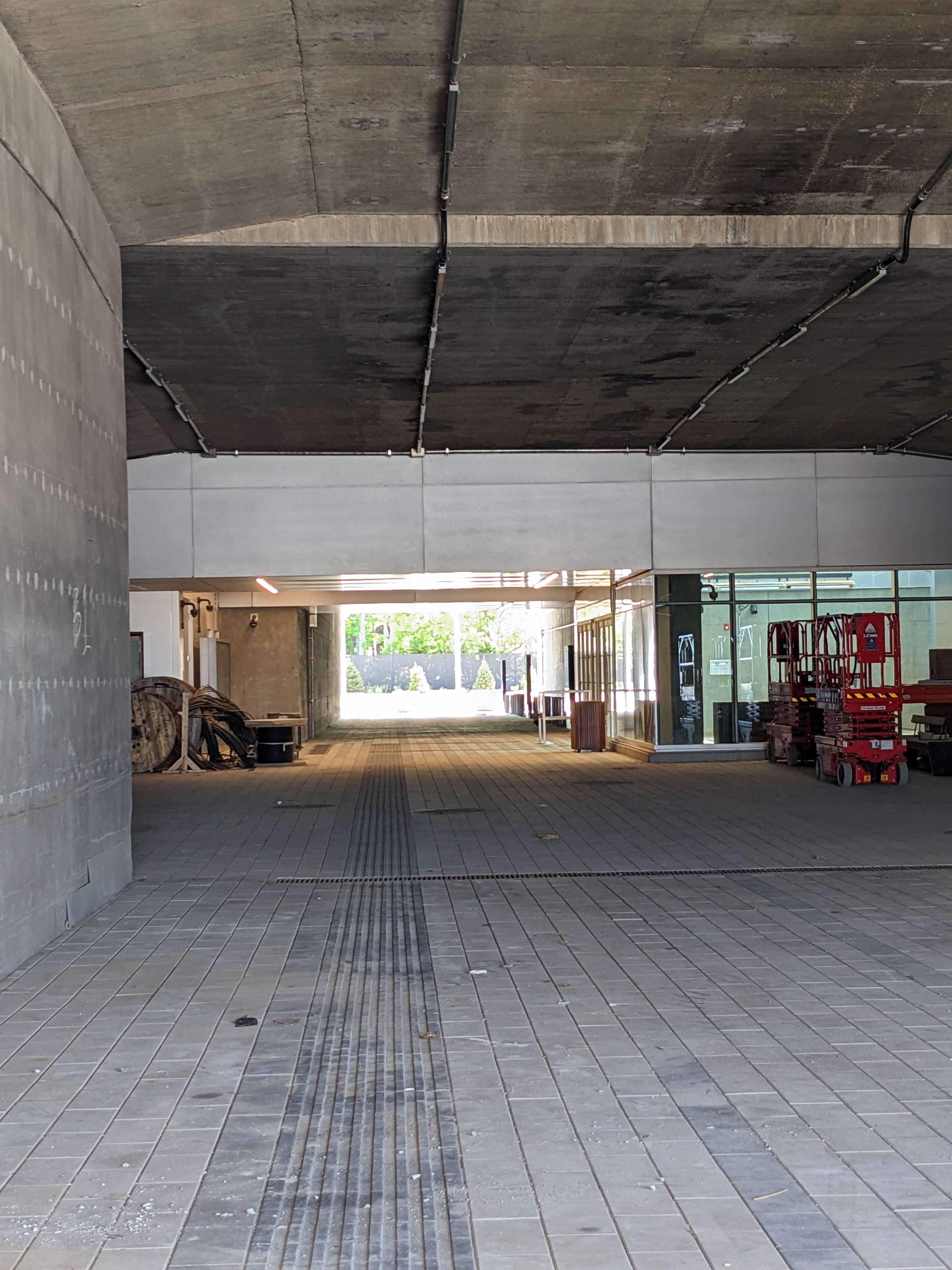
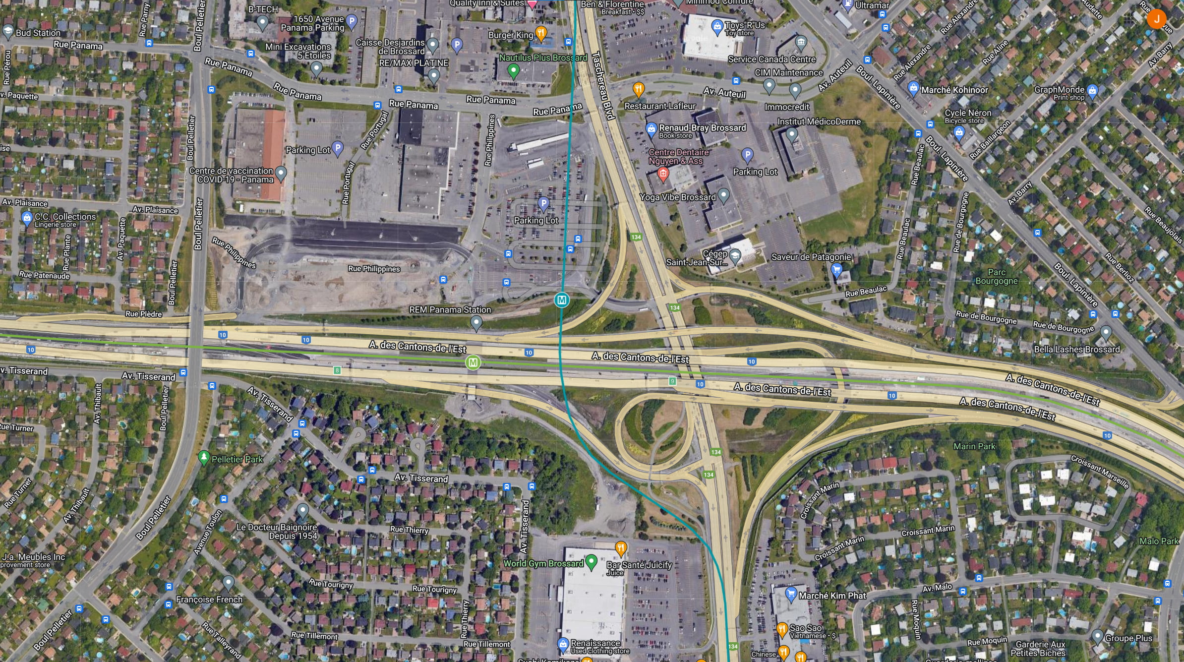
They seem to finally have gotten rid of the concrete barriers around Panama station on the highway. Some new highway signs will be installed over here too, replacing the ones used for construction. Work is finally coming to an end:
At Pelletier and Philippines, an island and permanent traffic lights are being installed. Instead of the lights just being installed high up, they’re adding some lower too, making the crossing safer for pedestrians:
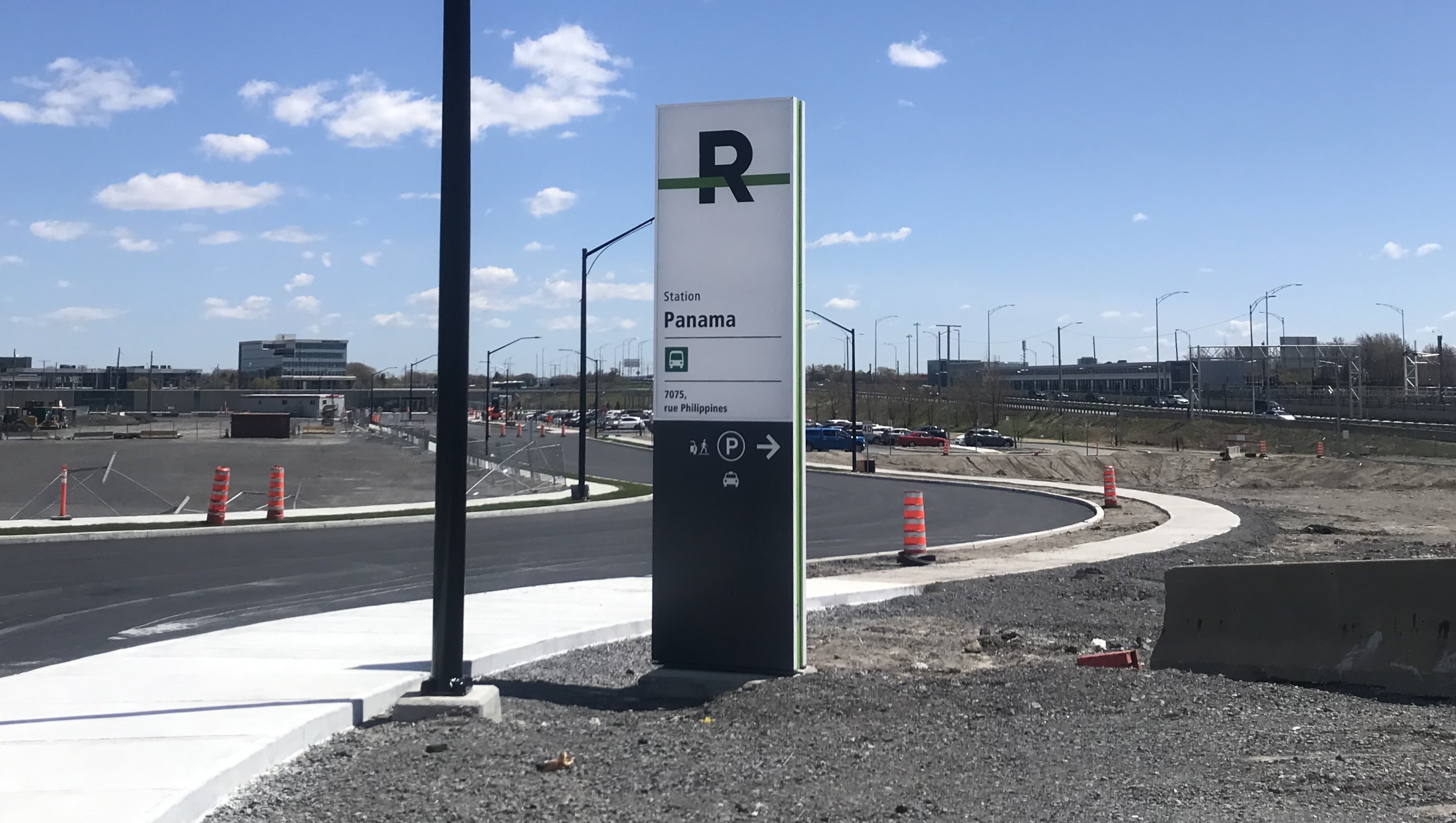
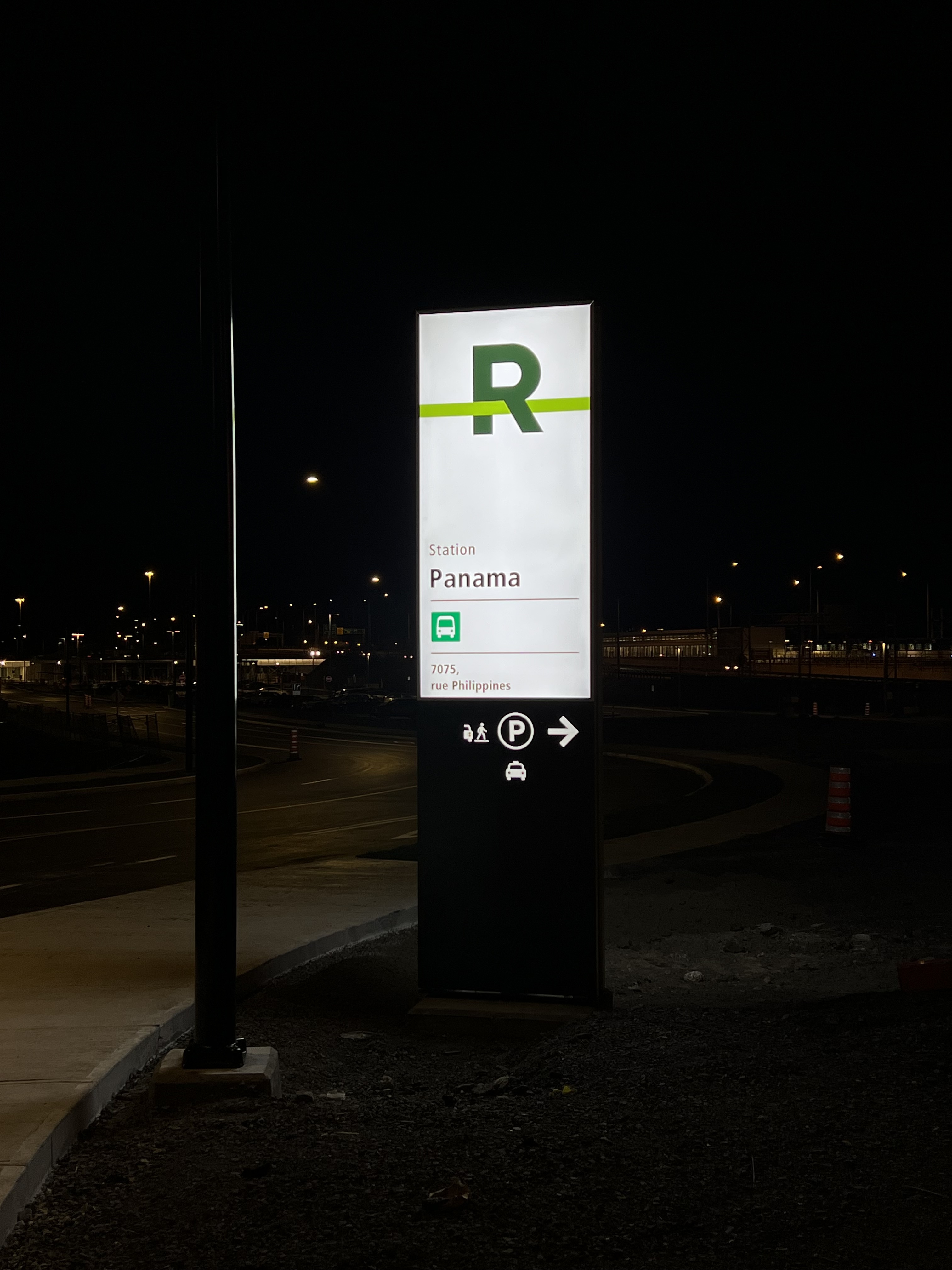
The Terminus Panama beacon sign that was taken away has been moved to a new location, about 100m away at the other entrance to the parking lot. There’s a stop sign there so cars can enter from both side of the street. The old base for the sign will probably be used for the REM beacon sign (just my guess), although they might put it next to the bus sign.
They moved the bus sign back to the original location, and added a REM sign at Pelletier. It’s quite far back from where the REM actually is, I wonder if they’ll add another:
Rue Philippines has been painted and is open now (it seems to open and close regularly so that might change). These are some of the only permanent bus lanes in the greater Montréal area:
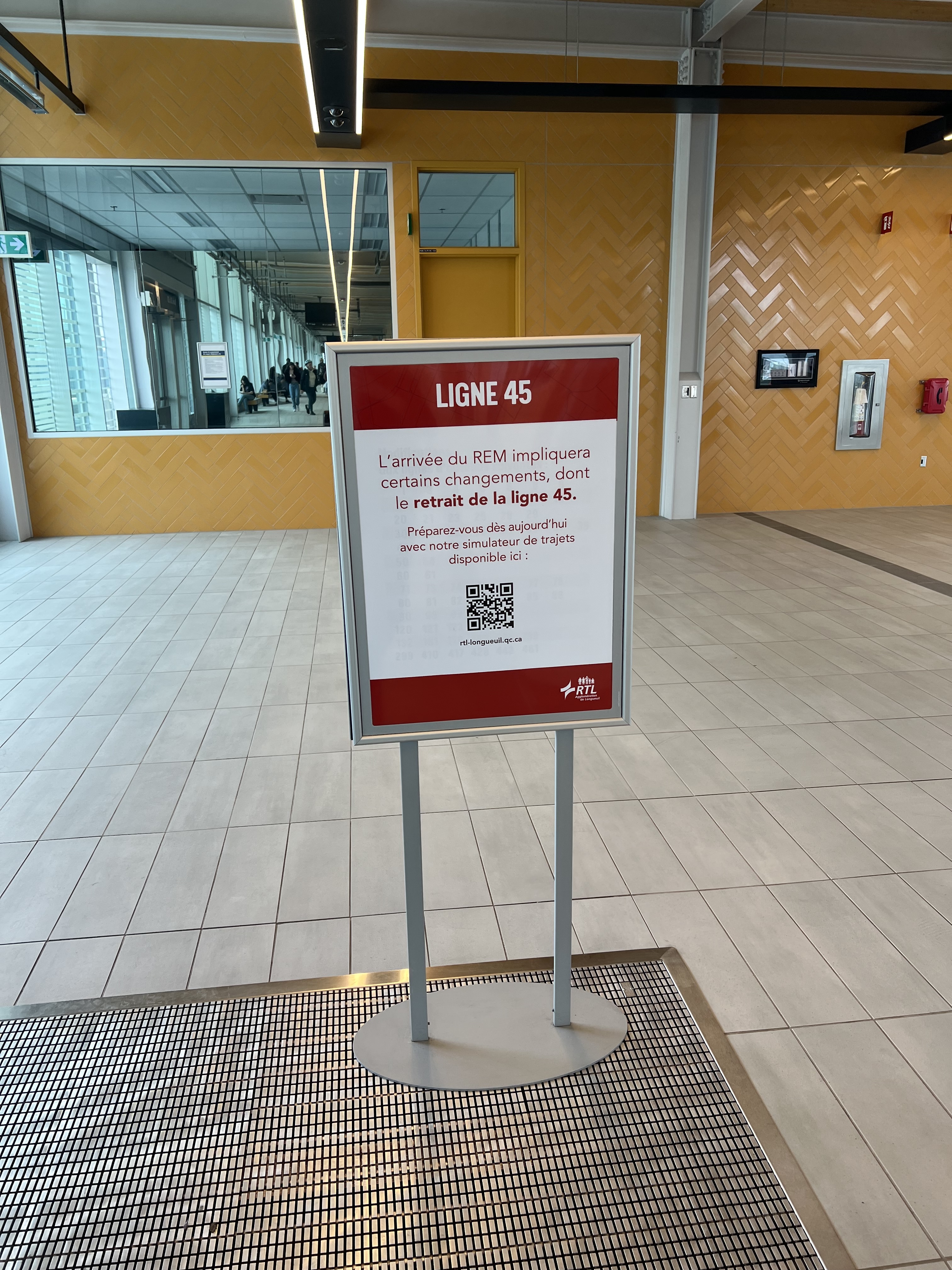
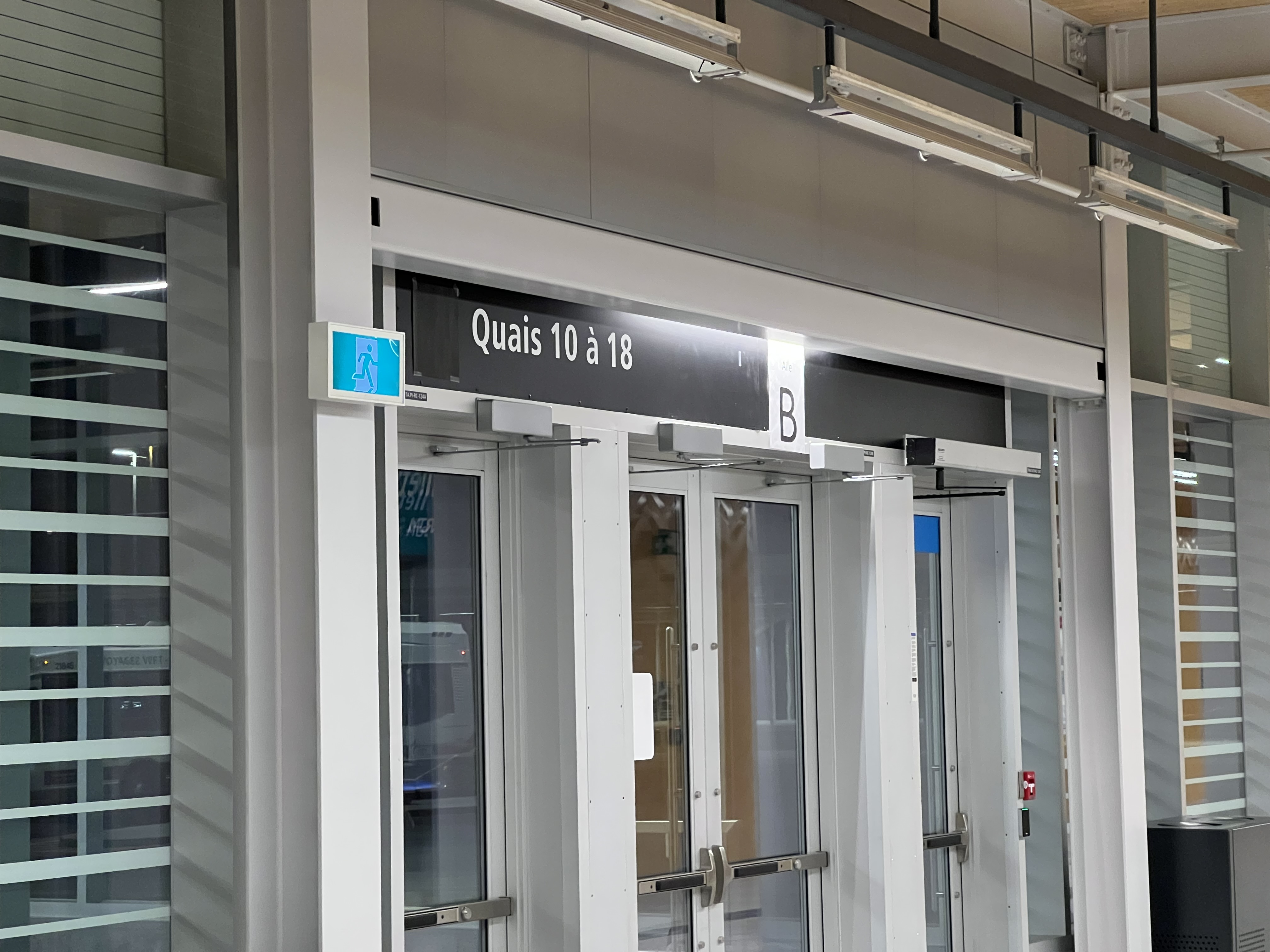
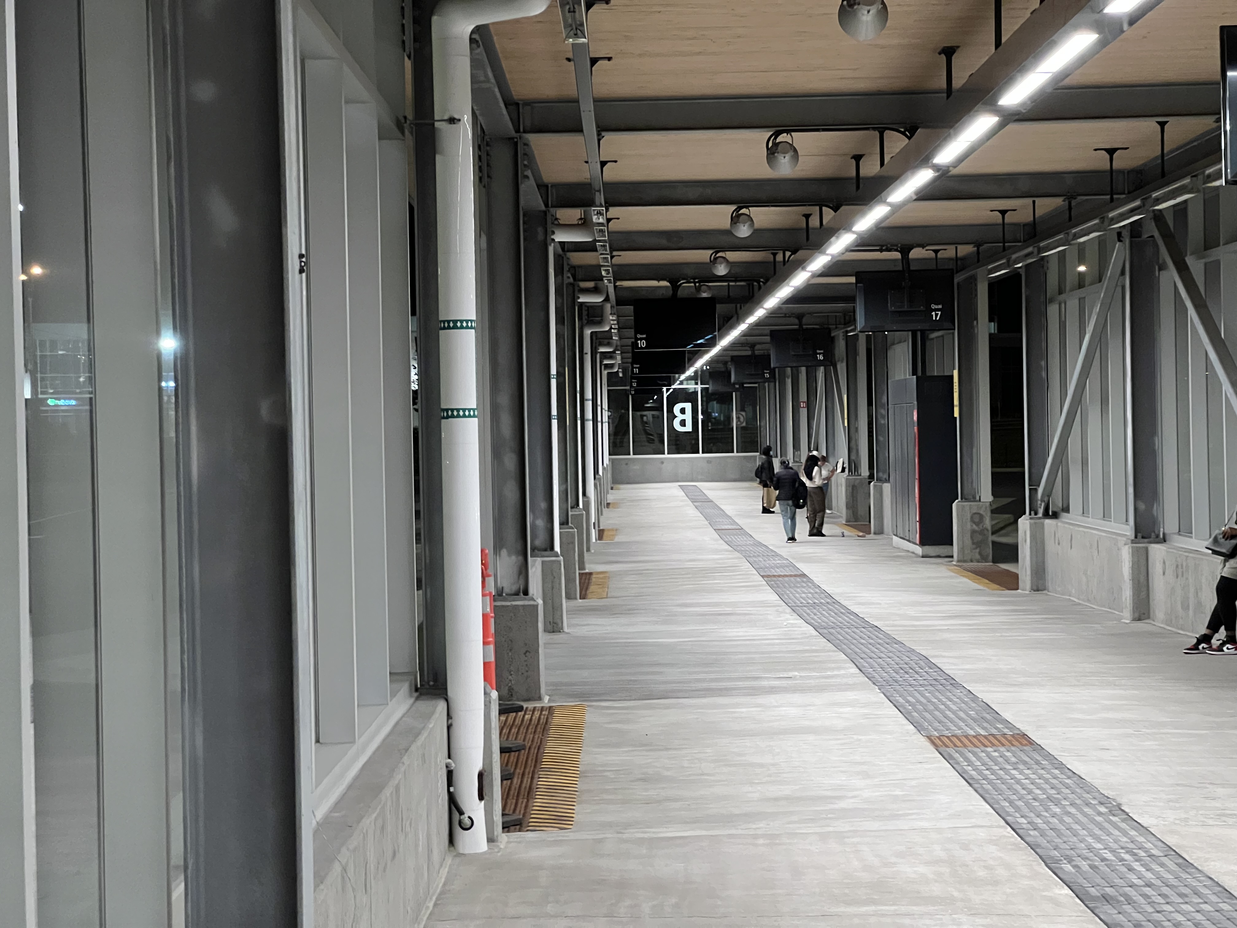
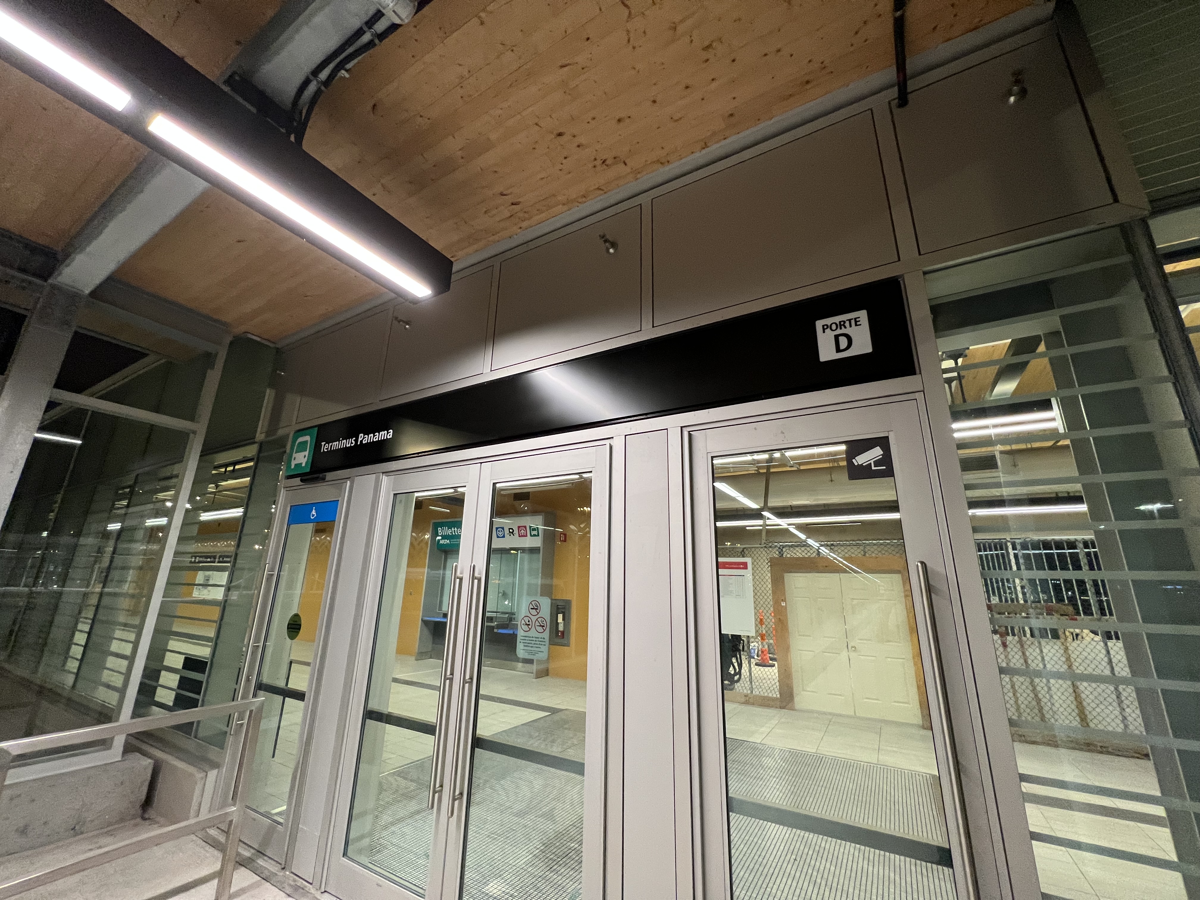
Not much has changed in the bus terminal or outside, but I think they’re planning on adding the new signs once the REM opens. This is only a guess but currently the outdoor waiting areas are labeled A, B, or C:
I have a prediction that they might rename these outdoor areas to match the names of the doors.
A → F
B → D
C → B
I think if this is the plan, waiting till the REM opens when the bus redesign happens makes the most sense. At the same time, it might be confusing, as the letters would change. The displays showing schedules aren’t operational yet and the signs pointing to the different doors seem temporary as well. There’s still some progress needed before it’s complete, I’m not 100% sure what the plan will be in the end.
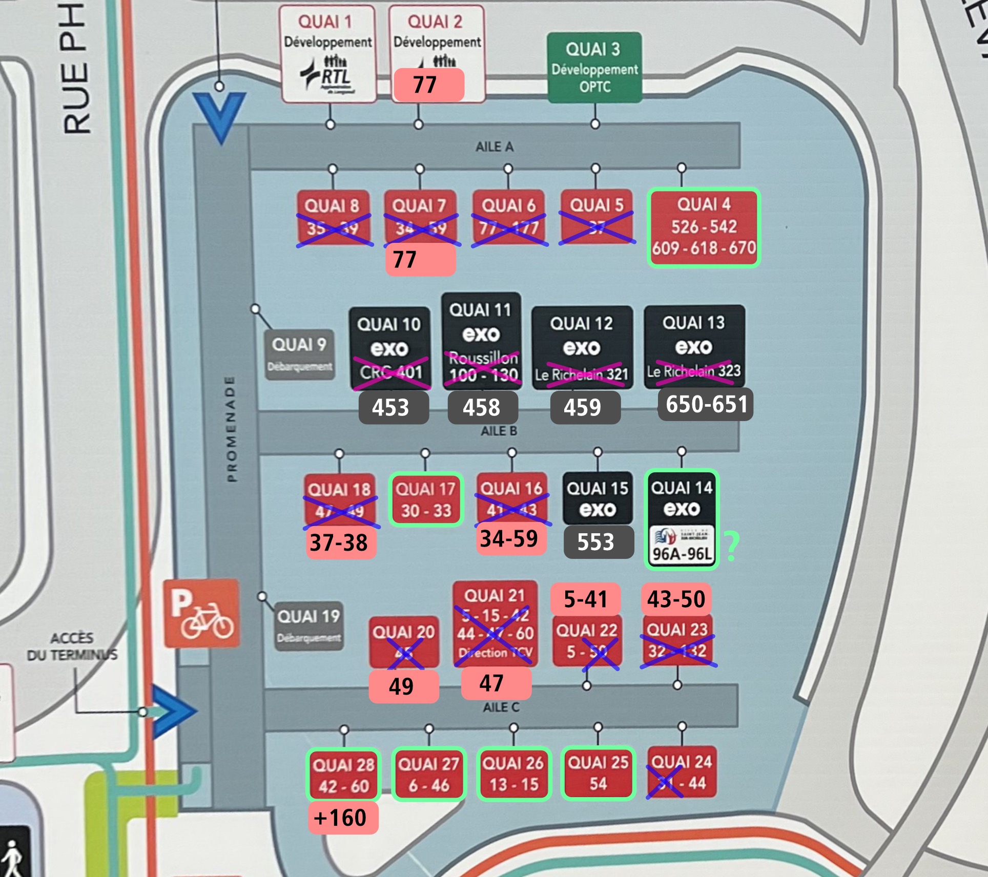
Based on the website that was shared, they don’t seem to be changing the names of the wings. This might change, as the website isn’t complete, but it shows the new locations where buses will stop.
I gathered the info and mapped them out on top of the current map:
Green is what gates remain the same
Pink and purple are what are changed.
Notes:
Gate 22 retains the 5 bus, but replaces the 50 with the 41 bus
Gate 28 adds the 160
It says that Gate 14 has 96A-96L buses stop there, while in reality they’ll end at Terminus Brossard
For Gates 10, 11, 12 and 13, the bus routes essentially just move over to the left (and were also renumbered)
Ohh for some reason I missed that. It’ll be interesting the time it takes for the train to travel vs the REM, there might be times when they’ll be racing each other
Faut dire que Saint-Jean est exclu de la zone de non-concurrence du REM et que la municipalité ne fait pas parti du territoire de l’ARTM, le mur tarifaire que suppose une correspondance à Panama a probablement fait dire à la municipalité qu’il fallait mieux continuer le service jusqu’au centre-ville. Ironiquement ils feront parti des rares municipalités à conserver leur trajet direct au centre-ville (avec la 55 de St-Lambert et les 86-87 de Boucherville). Même si c’est plus lent que le REM (pas de beaucoup non plus), je pense que les gens de Saint-Jean ne vont pas se sentir perdant pour autant.
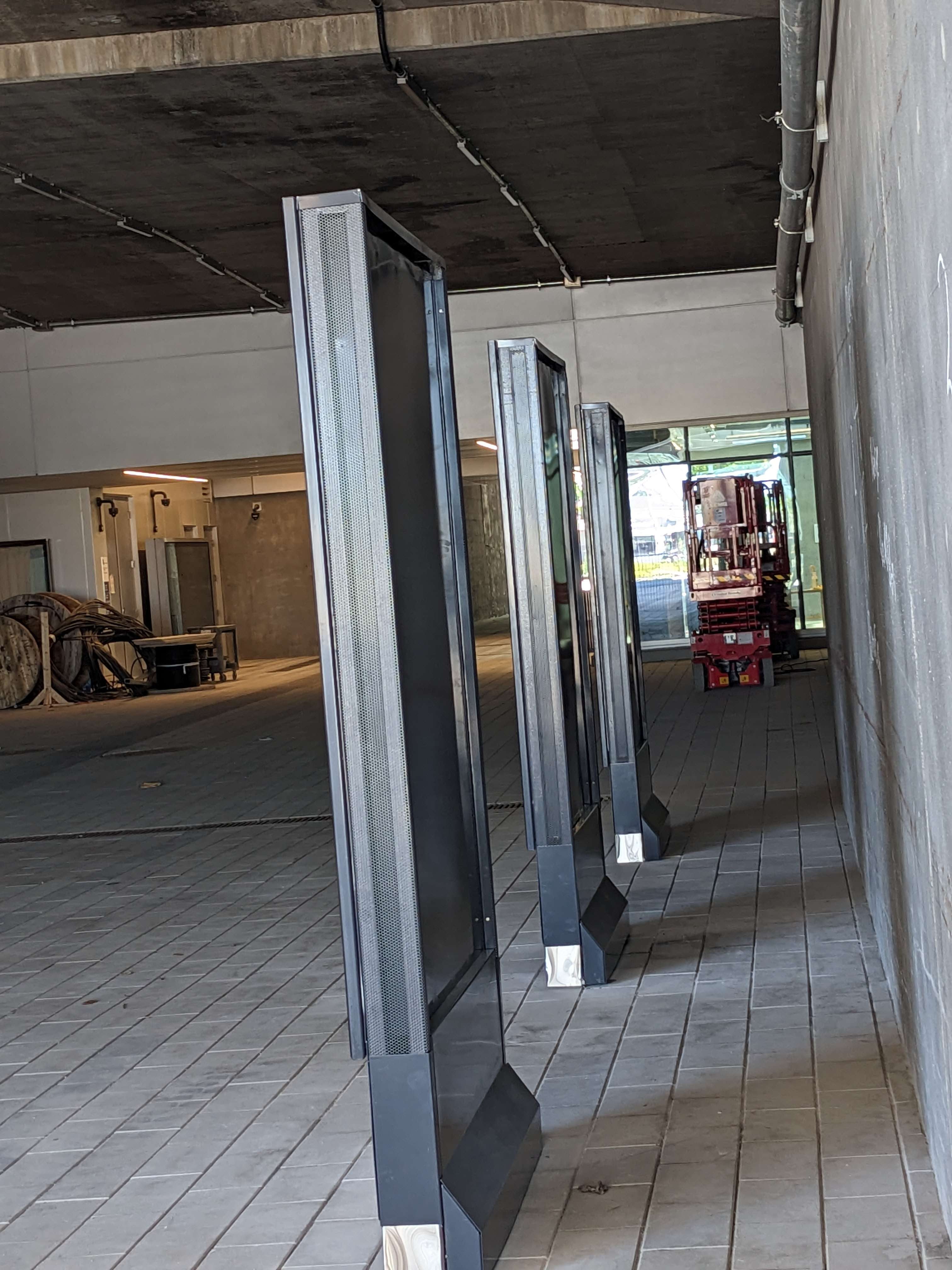
At the other side of the station, on the right side between the displays it looks like there’s way more bike parking! Wow there’s a lot at this station
Have you seen anything peculiar (maybe like some placeholder, dead space, etc.) pointing to a potential connection to a Taschereau line? Thinking that since the bus terminus is somewhat lo-fi, they could raze it and build the station cut-and-cover.
Interesting. They sound serious about the Taschereau line, but the connection to Panama seems pretty tricky, and you say there’s no apparent sign of future proofing. If they do build the Taschereau line, work on Panama station could end up being quite disruptive.
I might not know everything, but I can’t see a future connection being easy at Panama. The station is located in an underground tunnel that runs perpendicular to Taschereau, and already has technical rooms integrated into it
I’m wondering why the displays are free standing rather than on the wall. That space behind the display is just going to end up becoming a dumping ground. Whoever decided to build it that way has no idea how peoples behave. Seriously, its bad enough as things are without creating a space that attracts filth.
This assumes that REM Taschereau is built on a viaduct. That includes this section. The viaduct would need to be about 20 meters high to go over the highway. Incidentally, that also means that the viaduct can pass above the terminus and that they can built the station without any need to do any major rework. They just need to find enough space to put in a few pillars. The station itself can be built on the viaduct with the access at the end. It could look something like this:
Its not perfect, but its already a heck of a lot better than some of the other connections we’ve got. Minimising the amount of changes we do to the existing infrastructure reduces the cost. If they are willing to move the mechanical room, they could bring an access directly over the highway and into the station so that peoples don’t need to go through 2 sets of fare gates. I honestly don’t think that adding a connection to a future Taschereau line is all that big of an issue considering just how much space is still available around the terminus.
If it gets shifted a bit more toward Taschereau, they could build access directly into the ends of the bus terminal. That might actually be a better choice as it smooth out the track’s curve on the other side of the highway.