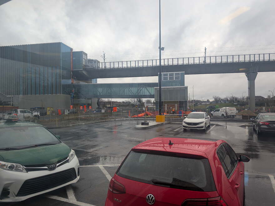
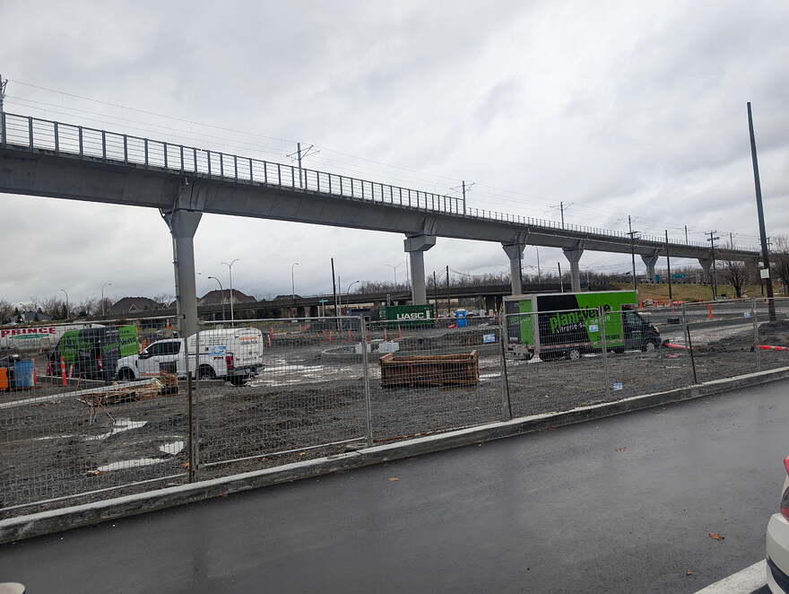
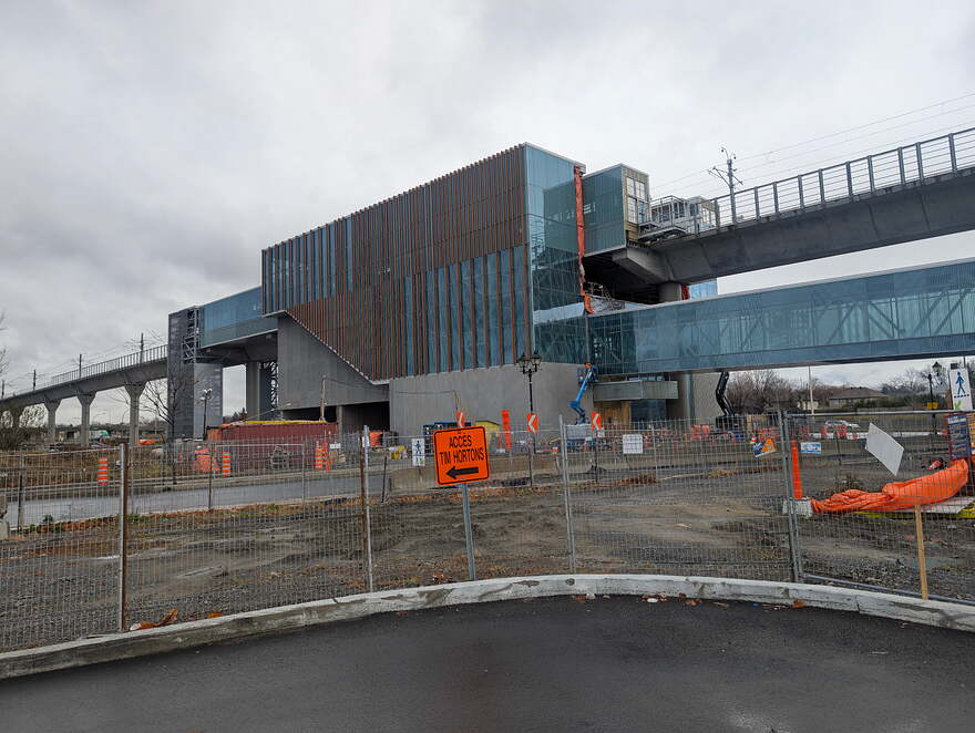
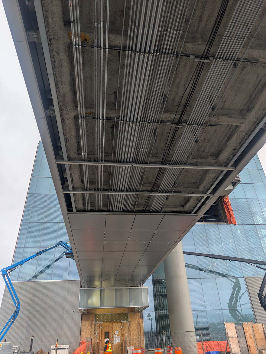
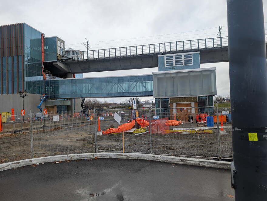
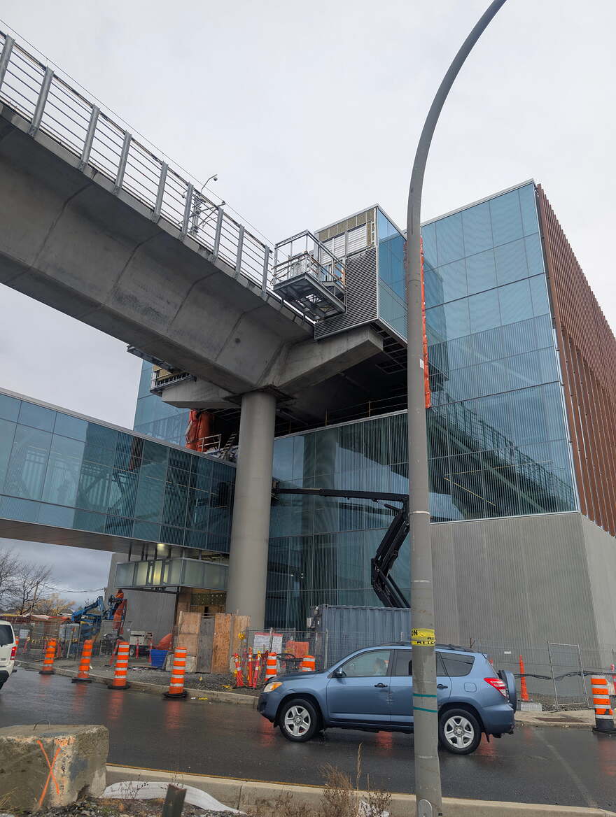
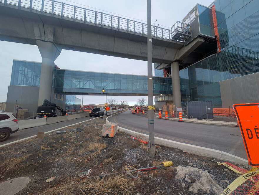
And it’s still using the DEATH ROAD overpass where your supposed to bike or walk WITH THE CARS going 70+km/h
Maybe they’re more worried that cars might veer too much to the right at the northern bend ![]()
It’s also on the same side as the existing sidewalk, so that might also have been a reason.
Here’s my guess. If it’s the case, it could have been solved by having some sort of protection between the bike lanes and traffic lane on the bridge.
I’ve driven Ste-Marie a few times since this path opened and it is a really half-assed solution. When the multipurpose path was announced a few years ago, it was pretty much assumed that they would do actual construction work on the overpass to enable a protected lane on the westbound (right) flank. Instead, all it is is a painted lane on the inside of the curve, and because of the geometry of the overpass and the way soccer mommies and all the other idiots in the West Island drive, it’s barely more than a sharrow that will experience constant incursions.
PS: there is a speed hump before the bike path crossing at the entrance to the overpass, but no such calming measure at the other end of the bridge where cyclists and pedestrians need to cross back – and where drivers have accelerated back to service road speeds of 70+!
Better be carrying a brick if you ever want to cross that bridge
Only way to slow cars down
And that REV Bridge is probably never going to truly happen
And even then, it is pretty far to the west of the station, something VP and her minions have proposed because the only thing they care about is the GPdlO, not the actual residents of the West Island.
Honestly, the entire Sainte-Marie/Jean yves/transcanada frontage roads should have been redesigned with the arrival of the station to be more conventional, instead of being essentially half of a freeway-freeway interchange with u turns required for 50% of movements. It is one of the dumber interchanges in Montreal, and it’ll be even worse now that there’s a metro station in the middle of it all.
That goes for all of the service lanes in the west island. Why are they designed like they’re full freeway lanes, and yet they have sidewalks and driveways every 200 metres? The only thing that stops traffic from going 100+ km/h on the frontage lane is the sea of potholes.
It might be my low expectations, but it could have been worse.
When I went, the cars were not going as fast as before the change. The new configuration reduces the lane width, and especially the right shoulder width, which I think makes people slow down a bit.
Yeah the speed hump gets rid of the “flying start” drivers got. But many will still try to hit Vₘₐₓ as quickly as they can after the crossing.
It also has to do with the fact they are using full size large highway signage here, which means drivers are looking up and not straight ahead at people crossing. The signs should be made smaller to not encourage fast speeds
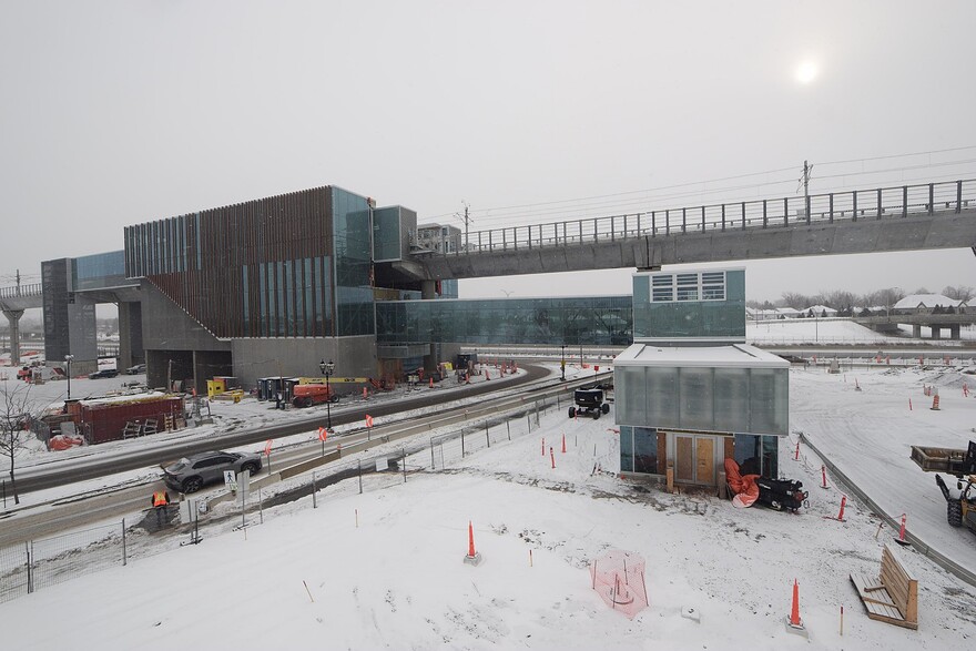
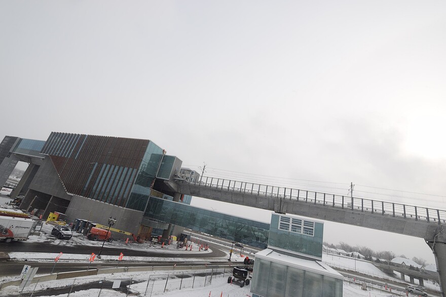
Progress updates
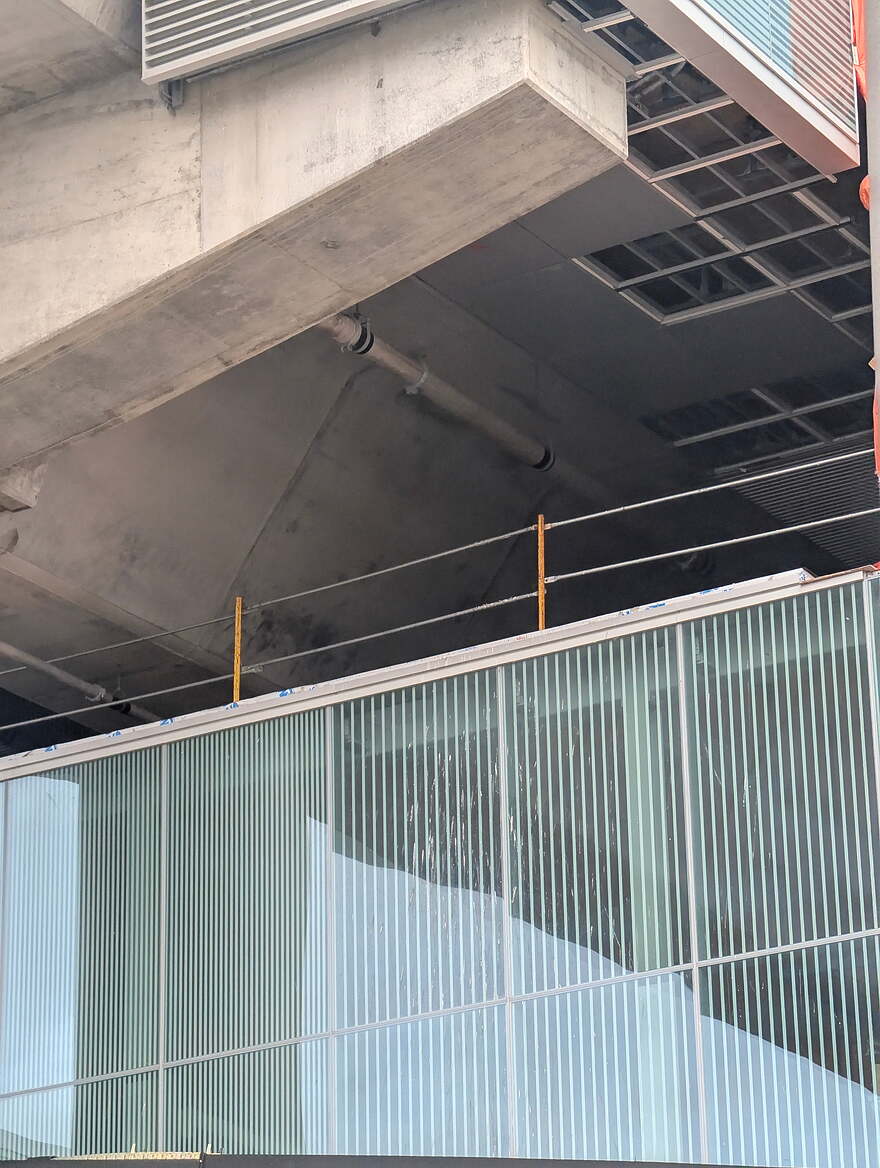
One question i wonder
How exactly are they going to avoid birds nests in this if they don’t patch it up
There is also the Webcam that is sitting on top of Tim Hortons tat you can track on a daily basis ![]()
Yes, this has been shared before in this thread
Yep but the angle is bad for most occasions
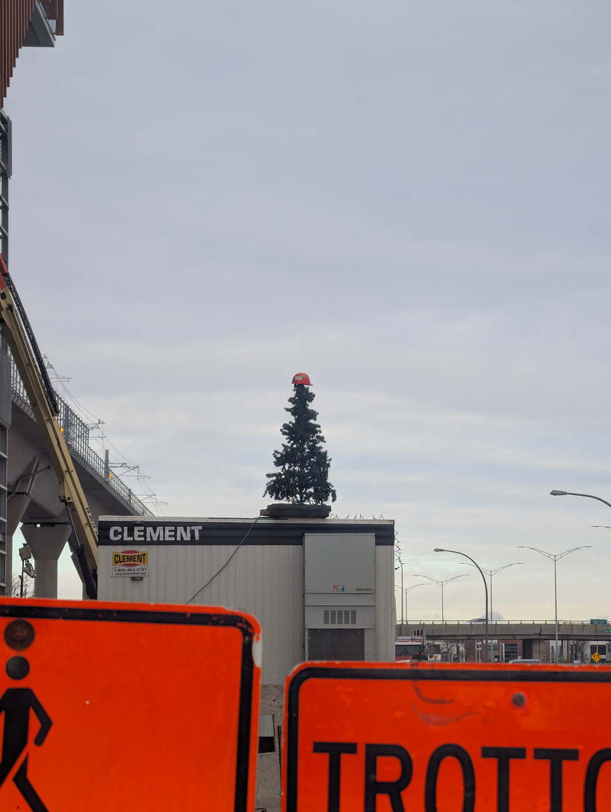
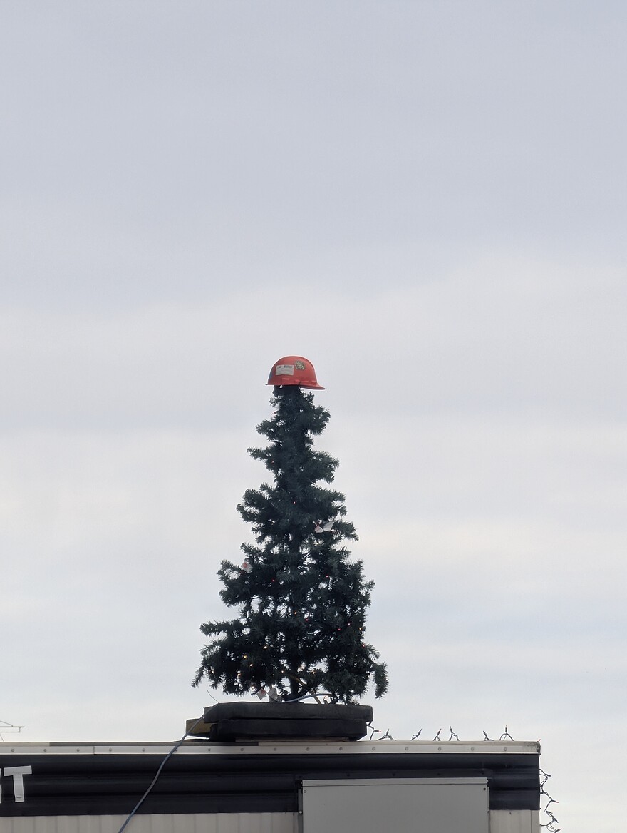
(Can’t see the Christmas tree with a hat for example)
I was also looking recently at the under tunnel tilework progress.
Now they are working more on the bus loop
Sure hope they finish that work soon to get Saint-Marie reopened to Jean Yves… Was supposed to be completed by Aug/Sept 2024…
Idée pour le viaduc kirkland
