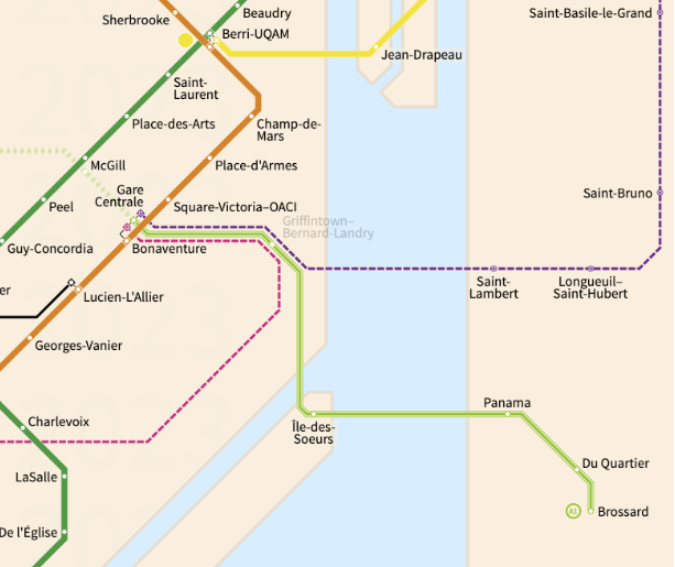
New Bonaventure map. Hoping the STM can also make one for IDS station. REM maps are lacking.
https://www.stm.info/sites/default/files/bonaventurepqsw.pdf
They’ve also included the REV ![]()
New Bonaventure map. Hoping the STM can also make one for IDS station. REM maps are lacking.
https://www.stm.info/sites/default/files/bonaventurepqsw.pdf
They’ve also included the REV ![]()
On this map, they finally updated the special metro bus if there’s an interruption, and it matches the REM bus too (in a circle):
Angrignon neighbourhood map was also updated (as an exo bus that ends there was renumbered):
https://www.stm.info/sites/default/files/angrignonpqsw.pdf
Same for Longueuil:
https://www.stm.info/sites/default/files/longueuilpqsw.pdf
De l’Église neighbourhood map was also updated (to feature the 12 bus):
https://www.stm.info/sites/default/files/eglisepqsw.pdf
All of these feature the metro numbers
Je me demande pourquoi il y a encore des autobus d’exo qui utilisent Mansfield au lieu du TCV?
Quand il va faire plus froid/pluvieux ce sera apprécié des usagers je crois.
And yet when you look at “Légende” there’s nothing to explain what the green “R” stands for. Are they doing that on purpose or what?
Whoops that’s a mistake on their end, I messaged them already about it
Most of them look just legit enough that most employees would think it’s something legitimate put up by some other dude in the company, but this one just looks silly. And yet it succeeded its infiltration.
Les cartes de Metro Route Atlas et Carto.Metro ont été mises à jour avec le REM
Metro Route Atlas (inclut le SRB) : Metro Route Atlas - Montréal, Quebec, Canada | Montréal, Québec, Canada

Carto.metro (plan des voies métro+REM +ancien tracé du Expo Express) : Carte détaillée du métro de montréal (voies, ateliers)
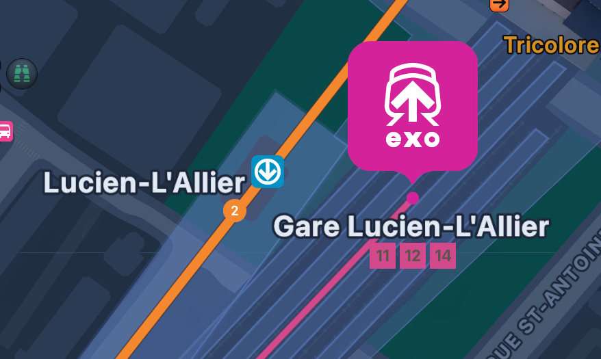
Apple Maps has already updated their map to feature the new numbers!


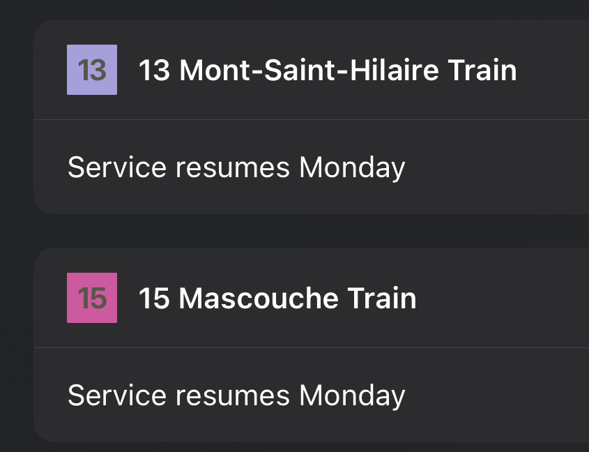
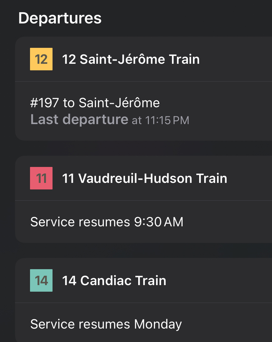
They’ve also made the exo train lines pink on the map, similar to how they’ve made the Go trains green, and it looks so good:

It’s still rolling out. At some zoom levels on my iPad, the commuter rail lines still appear purple.
Earlier, they had the new designations in Apple Maps, but the colours were still the old style.
It looks so odd to see the word “blue” printed on the line. They seriously need to just give proper names to the metro lines.
The yellow line could be the Expo line
The green line could be the Olympic line.
The orange line could be the Horseshoe line, or the Circle line if they ever get around to completing the loop.
The blue line could be the Mont Royal line
How can I dislike a comment? Les lignes nommées par leur couleur c’est quelque chose d’iconique à Montréal, pourquoi changer quelque chose qui marche très bien de même.
If those names was from the sixties, that would have made sense, but people know then by colours, all Montrealers know which part of the city you are referring when you are telling them : I live on the Blue line, trying to give the other name will never work…
The STM is now putting on this their number for their lines, which they always had their name by the way… from it’s opening the Yellow is the 4th, but NO ONE, LITERALLY NO ONE, use that name, so people will still call it the Yellow Line. Same for the 3 others.
Those new came could only work for the REM, is we call the different antenna : Airport, West-Island (Anse-à-l’Orme is not well known enough and do not ring a bell to lots of people), Deux-Montagnes or North Shore & the South Shore line or Brossard line. But they choose the A1, A2, etc, so people will likely use that name forever
I think the numbers of the metro lines are more for the visual aspect. On Apple Maps and on the official maps in the legend, it says just the colour, not the number
Si d’autres lignes REM voient le jour on peut s’attendre à l’utilisation de lettres au lieu de numéros pour les designer comme la feu ligne B du REM (REM de l’est). Cette distinction ne me gène pas personnellement. La MTA à NY distingue ses lignes de la sorte parce qu’à l’origine il s’agissait de deux compagnies différentes. Pour la dénomination des branches/destinations (A1, A2, A3 et A4) à l’évidence CDPQi s’est inspiré de l’ancien système utilisé par le RER parisien (il semblerait que cela ait été abandonné discrètement ces dernières années). Officiellement il s’agit de la ligne A du REM (comme l’affiche Chrono). Peut-être verra t-on l’introduction de codes mission éventuellement sur l’avant des trains…
I will highlight that Apple Maps now uses the line number and colour to designate the subway lines; like Toronto and Ottawa.
It’s probably a matter of time before it shows up in the line diagram, similar to what they did with Exo lines.
Montréal isn’t the only city in the world to name their subway lines by colour. Off the top of my head, Atlanta is the first city that comes to mind.
So the real existential question is… Are they going to add the numbers inside each color disk on station’s name signs? It’s going to be a 10 year project for the STM ![]()
They said they would! Hopefully earlier, I heard ARTM is helping fund changing all the signage
LOL I almost tagged you for help here… Do you think if they’re just going to add sticker on the top of the disk?
Adding a sticker on top of a glowing sign makes it visually worse, just look at what Gare Centrale did:
I really think they will be replacing those.
Some of the metal signage (not backlit) have been to modified to better incorporate the REM logo…
While others still have that colourful sticker.
It could be as simple as waiting for order to be delivered… unless someone works for the company/department responsible for those signs, we might never know ![]()
Edit: Then again, the MTA logo is still on it ![]()