CDPQi has said there will be no parking at the station. The town of Kirkland maintains that there will be no parking around the station. What exactly are said residents going to do with their indispensable vehicles once they arrive there?
Never mind that all the stations on the A3 branch are already far more easily accessible by car than by any “alternate mode of transportation”, I don’t buy that the construction of a new boulevard has anything to do with the REM.
It seems more like plausible cover for building a new highway access based on the decades-old misconception that it would ease rush-hour traffic on Saint-Charles, a project which Beis and his predecessors were lobbying for long before anyone had thought of building any type of station near the right-of-way.
City hopes to revive urban boulevard plan linking Pierrefonds to Kirkland REM
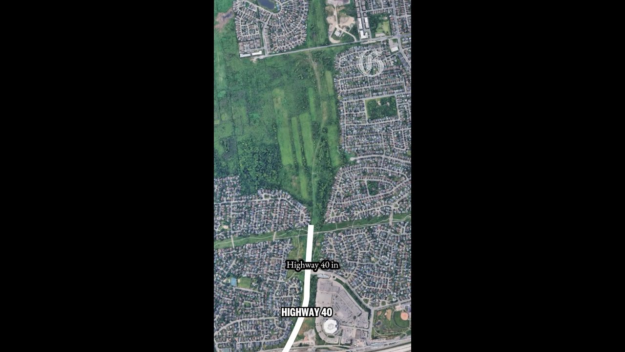
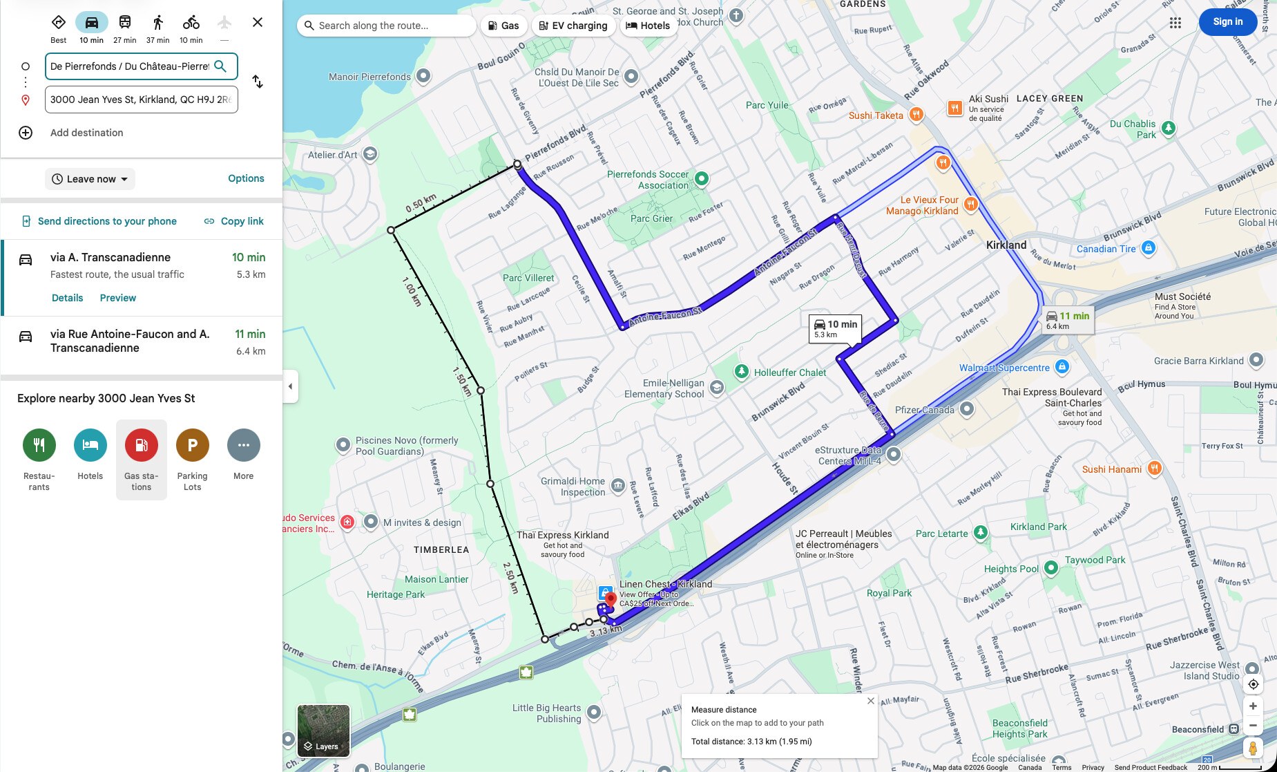
The story of this roadway dates back to a decades-long promise by the province to link the West Island to Laval. While plans for the link have long since been abandoned, successive governments have promised to build an urban boulevard on land reserved for the highway. More recently, the borough of Pierrefonds-Roxboro has envisioned turning the planned roadway into an access road for the Kirkland REM station when it opens, probably this spring.
Kirkland won’t allow a Urban boulevard with cars until a new Sainte-Marie overpass is built to accomodate the increase flow of vehicules which can takes years and years…
If ever at all. TQ has postponed redevelopment of the three existing boulevard overpasses until at least 2030. Any new boulevard along the 440 ROW would need its own interchange with the 40, not just funnelling onto the service road and Chemin Ste-Marie behind the Colosseum.
Kirkland Mayor Michel Gibson - Montreal Gazette 2/25/2026
“Reached last week, Kirkland Mayor Michel Gibson said he’s against the idea of putting cars on the future road, at least for now, because the road network is already at capacity.
“I know it’s (Beis’s) wish, but a wish has to be logical, practical and fair for everyone,” Gibson said. “Adding cars on the road would be a poor decision.”
He noted Kirkland would have a say on such a project because the road would pass through the town. He said the overpass at Ste-Marie Rd. must be rebuilt and capacity added to that street before any new traffic is added to the area.
The overpass is not due to be rebuilt “for another five or six years,” Gibson said.
He expects it will take years to restart the project, saying the Plante administration put it on hold because the anticipated provincial funding never came through.”
Exactly. But that’s Gibson assuming that all the traffic from the boulevard would just end up on Chemin Ste-Marie and either go west to AA station, or go east to Kirkland station or over the Sainte-Marie overpass, while returning traffic would take the other overpass and clog up the westbound service road. If an actual urban boulevard is ever built, it will need its own segregated interchange with the 40, notwithstanding the need to improve the Sainte-Marie overpasses.
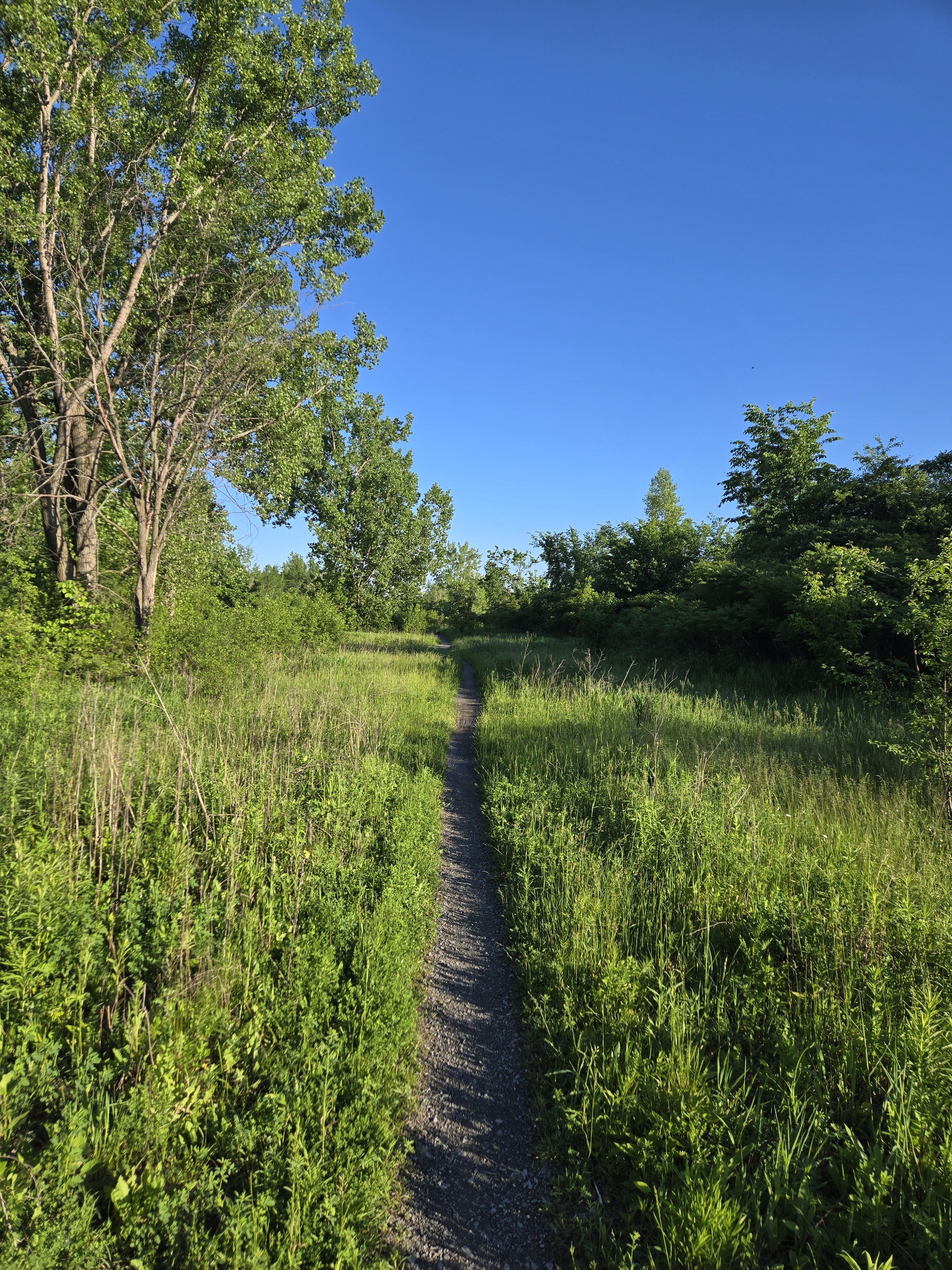
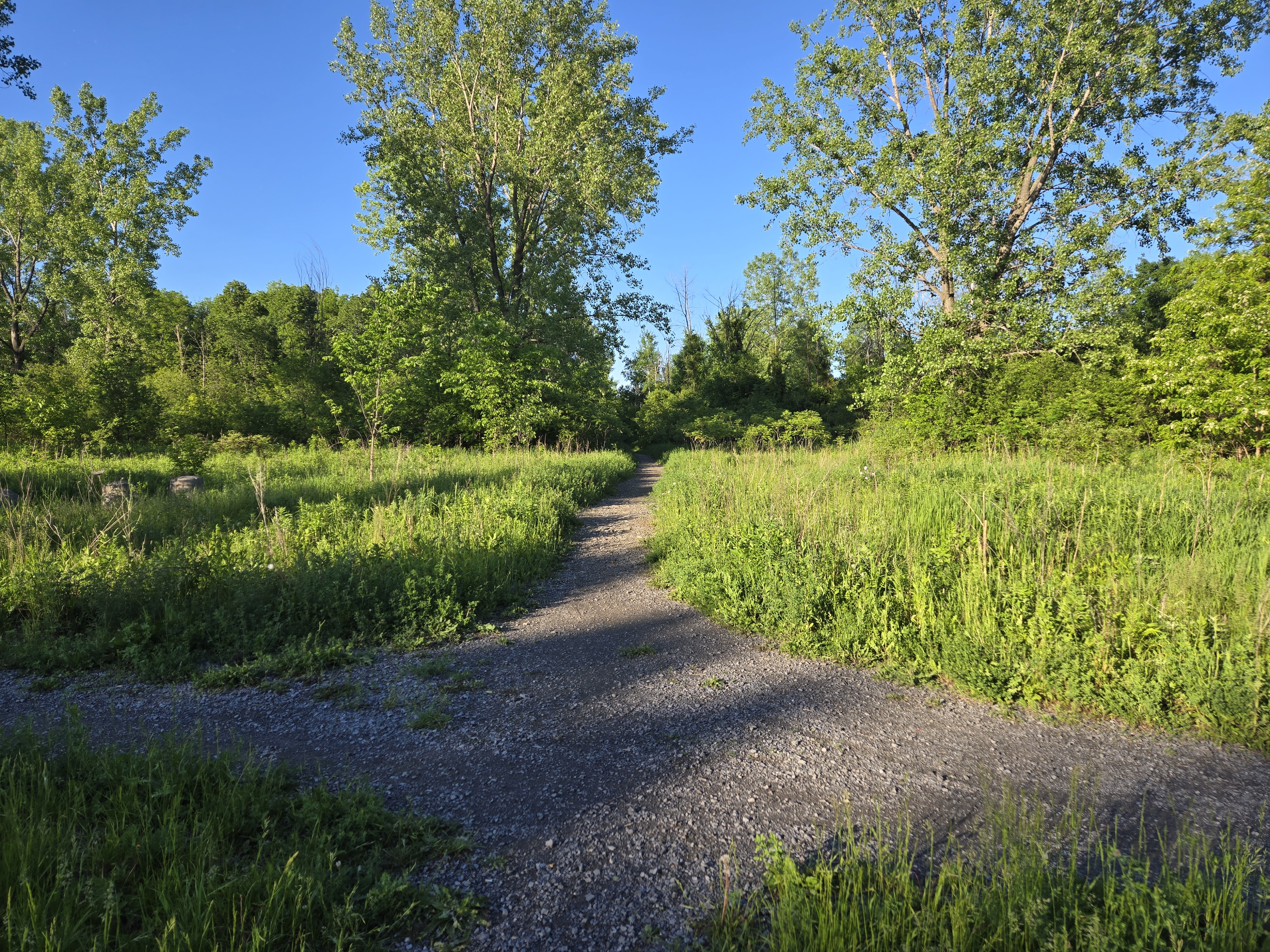
Pas le plus idéal a faire en vélo, mais j’ai quand même bien aimé.
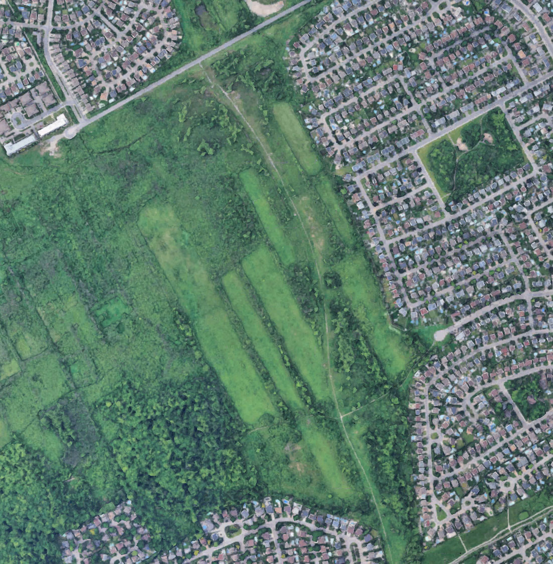
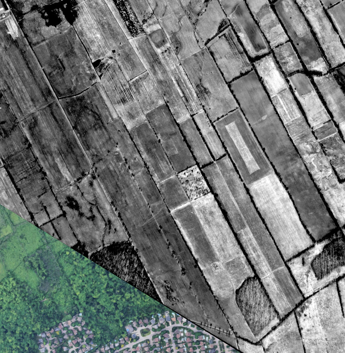
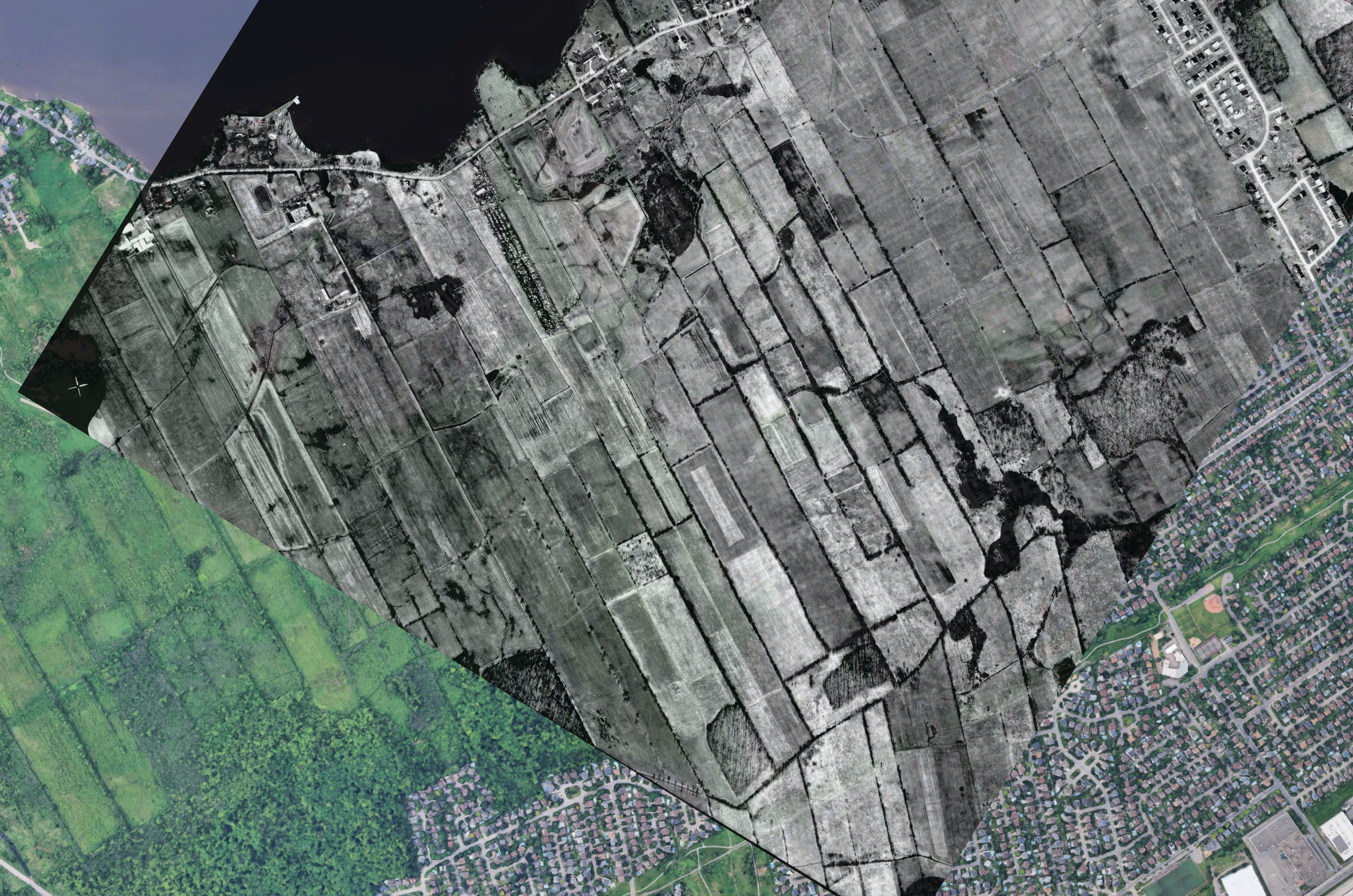
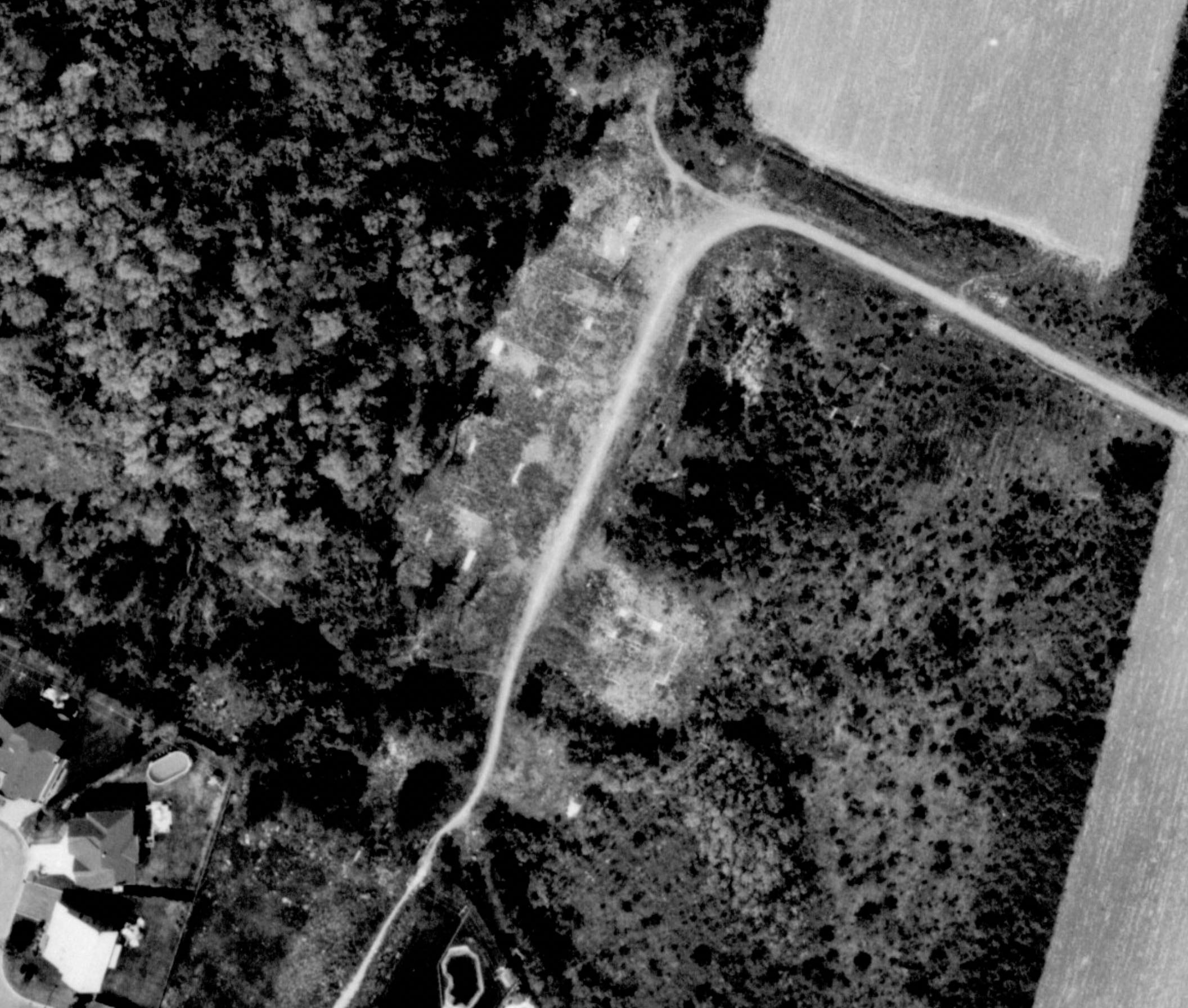
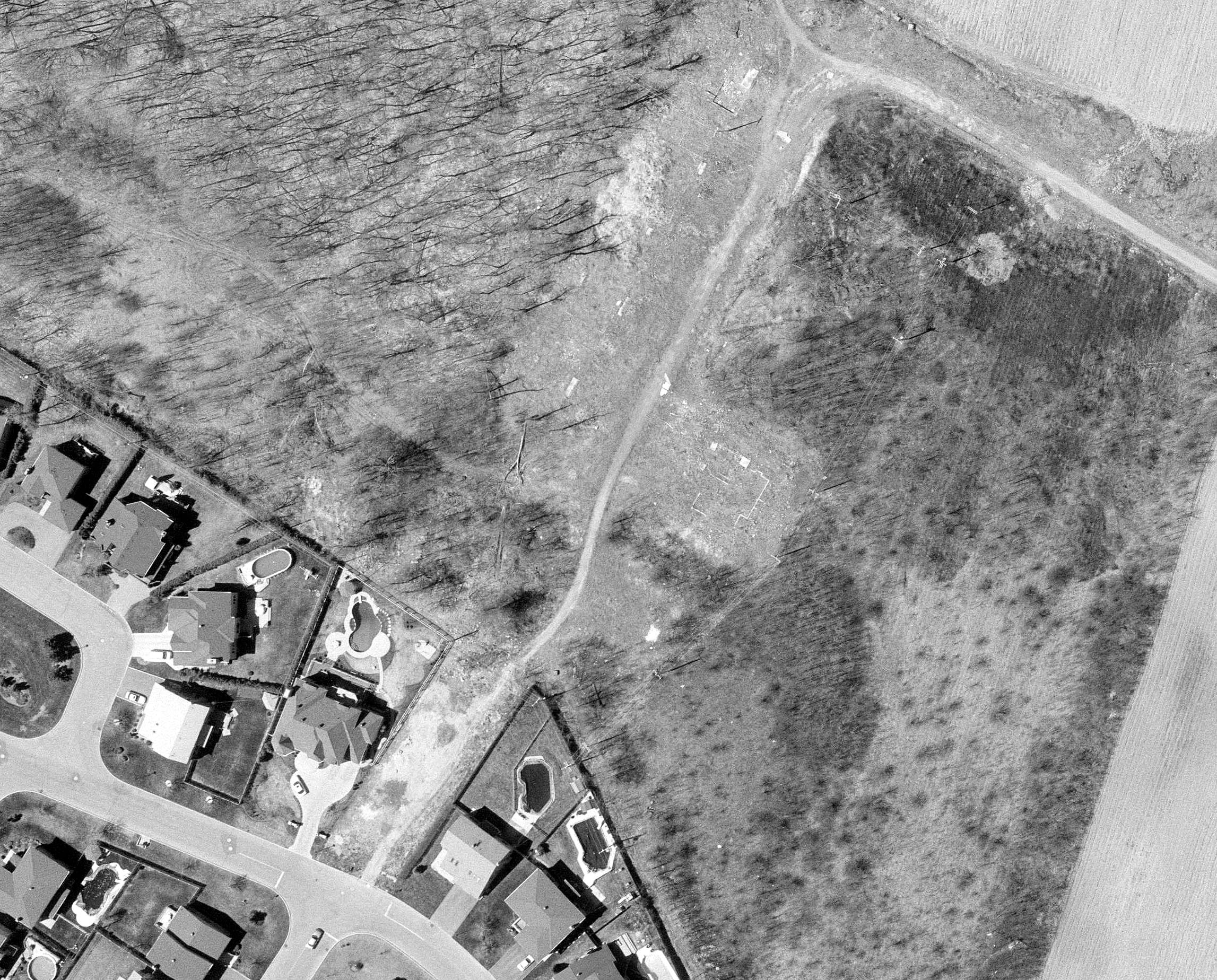
Ma belle-mère m’a dit qu’il y avait apparemment des maisons de construites dans l’emprise il y a plusieurs décennies, qu’ils ont dû abandonner puis éventuellement démolir. Apparemment, il avait des squatteurs, des partys et tout ce que vous pouvez imaginer dans ces bâtiments abandonnés. Si c’est le cas, il ne doit plus rester grand-chose aujourd’hui.
Je vais devoir lui poser quelques questions d’approfondissement, parce que peut-être elle est dans le champ
Mais en même temps, je pense que les maisons était plus dans les années 1990s/2000 d’après ce qu’elle m’as dit, et que c’était un projet immobilier Grilli. C’est fort possible qu’elle mélange un paquet d’affaires.
Pas trouvé de photos sur la période 1980-1998, alors je ne sais pas quand ça a été construit et quand ça a été démoli. Vue la végétation en 1998-2000, j’imagine que la démolition devait être assez récente (genre 1996-1997).